Field Names · Undated
Kestenberg


© GeoBasis-DE / LVermGeoRP, dl-de/by-2-0
There is no picture of this object yet. Do you have a photo that you would like to make available to the Kulturdatenbank? Submit a picture
Description
This description is only available in German.
Translate with Google opens this page in Google Translate (external service)
Keste – Bedeutung: Kastanie und zwar meist die Edelkastanie. [1]
Classification
- Subject area
- History
- Category
- Field Names
- Date
- Undatiert
- Period
- Undated
Location
- District
- City of Trier
- Collective municipality
- Verbandsfreie Gemeinde Trier
- Town
- Trier
- Locality / location
- Ruwer/Eitelsbach
- Field name
- Kestenberg
- Coordinates
- WGS 84: 49.791536, 6.723792 (Position: exact) WGS 84: 49° 47′ 29.5″ N, 6° 43′ 25.7″ E UTM 32 (ETRS89): E 336174 · N 5517939
Sources
Data sources
- [1] Dittmaier, Heinrich: Rheinische Flurnamen. Ludwig Röhrscheid Verlag, Bonn, 1963.
On the internet
Last edited: 6 Mar 2019 Object ID: 48125
https://kulturdb.de/en/objekt/48125-trier-kestenberg
Nearby
The nearest objects
Vineyard Sites
Sonnenberg
Field Names
Im Kestenberg
Fortresses and Bunkers
Westwall - Bunker
Fortresses and Bunkers
Westwall - Bunker
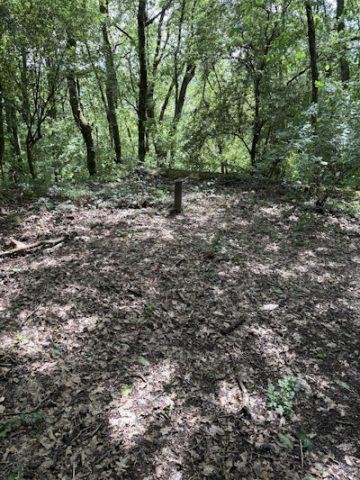 150 m
Fortresses and Bunkers
Westwall - Bunker
Fortresses and Bunkers
Westwall - Maschinengewehr-Schartenstand
Field Names
Im hintersten Kestenberg
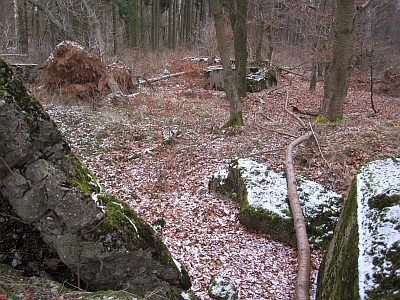 270 m
Fortresses and Bunkers