Field Names · Undated
Butterweck


© GeoBasis-DE / LVermGeoRP, dl-de/by-2-0
There is no picture of this object yet. Do you have a photo that you would like to make available to the Kulturdatenbank? Submit a picture
Description
This description is only available in German.
Translate with Google opens this page in Google Translate (external service)
Butterweck – Bedeutung: Ursprünglich der geformte Butterkloß. In Flurnamen bezeichnet es möglicherweise die Zinsabgabe an den Grundherren; auch fruchtbare Äcker können metaphorisch so genannt werden. [1]
Classification
- Subject area
- History
- Category
- Field Names
- Date
- Undatiert
- Period
- Undated
Location
- District
- Eifelkreis Bitburg-Prüm
- Collective municipality
- Prüm
- Municipality
- Wawern (Eifelkreis Bitburg-Prüm)
- Locality / location
- Rodenbach
- Field name
- Butterweck
- Coordinates
- WGS 84: 50.114572, 6.500589 (Position: exact) WGS 84: 50° 06′ 52.5″ N, 6° 30′ 02.1″ E UTM 32 (ETRS89): E 321311 · N 5554361
Sources
Data sources
- [1] Dittmaier, Heinrich: Rheinische Flurnamen. Ludwig Röhrscheid Verlag, Bonn, 1963.
On the internet
Last edited: 25 Mar 2019 Object ID: 48195
https://kulturdb.de/en/objekt/48195-wawern-eifelkreis-bitburg-pruem-butterweck
Nearby
The nearest objects
Field Names
In der Hilberschdell
Field Names
Auf Klingheld
Field Names
Beim Butterweck
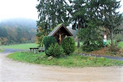
Wayside Shrines and Stations of the Cross
Wegekreuz
Field Names
In der Rothenbach
Peat Cuttings
Ehemaliger Torfstich
 660 m
Wayside Shrines and Stations of the Cross
Wegekreuz
Peat Cuttings