Road Transport · Celtic / Roman Period
Trasse einer Römerstraße

Description
This description is only available in German.
Translate with Google opens this page in Google Translate (external service)
Belginum-Longkamp-Ürzig
Classification
- Subject area
- Archaeological Monuments
- Category
- Economy, Trade and Transport
- Object type
- Road Transport
- Date
- Circa 500 vor Chr. bis circa 500 nach Chr.
- Period
- Celtic / Roman Period
Location
- District
- Bernkastel-Wittlich
- Town
- Traben-Trarbach
- Locality / location
- Trarbach
- Field name
- Lanschert
- Coordinates
- WGS 84: 49.938414, 7.153238 (Position: exact) WGS 84: 49° 56′ 18.3″ N, 7° 09′ 11.7″ E UTM 32 (ETRS89): E 367483 · N 5533418
Sources
Data sources
- H. Schulze-Neuhoff; Wander- und Radlerbr. 2000; Sehenswürdigkeiten entlang der Mittelmosel-Schanzen-Tour
On the internet
mosella.de/4schanzen/default.htm
Picture credits
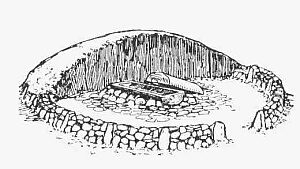
- Picture 1: Igeler Säule (Detail), Nachzeichnung: Rheinisches Landesmusem
Last edited: 13 Aug 2007 Object ID: 4820
https://kulturdb.de/en/objekt/4820-traben-trarbach-trasse-einer-roemerstrasse
Nearby
The nearest objects
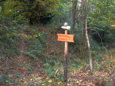 30 m
Entrenchments
Trarbacher Schanzen - Kirschwaldschanze
No picture
250 m
Field Names
Haselborn
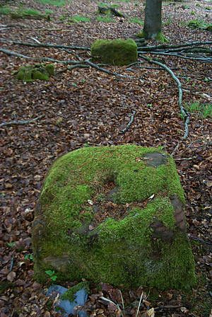 320 m
Execution Sites
Galgenplatz
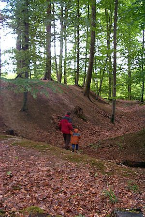 340 m
Entrenchments
Trarbacher Schanzen - Hödeshofschanze
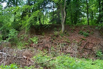 350 m
Entrenchments
Trarbacher Schanzen - Hödeshofschanze
 380 m
Groups of Trees
Gebüsch- und Baumgruppe
 390 m
Burial Mounds
Tumulus
No picture
400 m
Extraction and Processing of Raw Materials