Field Names · Undated
Im Beiengarten

Classification
- Subject area
- History
- Category
- Field Names
- Date
- Undatiert
- Period
- Undated
Location
- District
- Trier-Saarburg
- Collective municipality
- Schweich an der römischen Weinstraße
- Municipality
- Detzem
- Street
- Raiffeisenstraße
- Field name
- Im Beiengarten
- Coordinates
- WGS 84: 49.822139, 6.846878 (Position: exact) WGS 84: 49° 49′ 19.7″ N, 6° 50′ 48.8″ E UTM 32 (ETRS89): E 345130 · N 5521079
Sources
On the internet
Picture credits
- Picture 1: Sputniktilt [CC BY-SA 3.0 (https://creativecommons.org/licenses/by-sa/3.0)]
Last edited: 11 May 2019 Object ID: 48248
https://kulturdb.de/en/objekt/48248-detzem-im-beiengarten
Nearby
The nearest objects
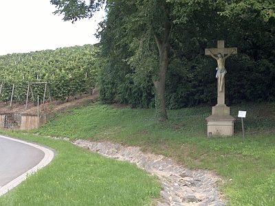 100 m
War Memorials
Ehemaliges Friedhofskreuz
No picture
140 m
Farmhouses and Farm Buildings
Gutshof
No picture
150 m
Farmhouses and Farm Buildings
Quereinhaus
No picture
150 m
Farmhouses and Farm Buildings
Breitgiebelhaus
No picture
170 m
Rectories
Einhaus
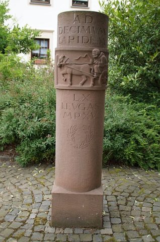 180 m
Markers and Monuments
Römischer Meilenstein
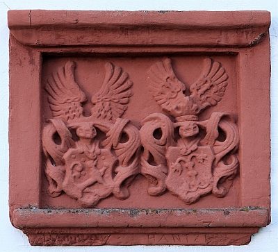 190 m
Coats of Arms
Wappenschild
No picture
190 m
Farmhouses and Farm Buildings