Wayside Shrines and Stations of the Cross · Neoclassicism
Wegekreuz


Description
This description is only available in German.
Translate with Google opens this page in Google Translate (external service)
Classification
- Subject area
- Architectural and Art Monuments
- Category
- Religious Buildings
- Object type
- Wayside Shrines and Stations of the Cross
- Date
- 1837
- Period
- Neoclassicism
Location
- District
- Trier-Saarburg
- Town
- Konz
- Locality / location
- Oberemmel
- Field name
- Auf dem Forst
- Coordinates
- WGS 84: 49.660130, 6.609030 (Position: exact) WGS 84: 49° 39′ 36.5″ N, 6° 36′ 32.5″ E UTM 32 (ETRS89): E 327449 · N 5503588
Sources
Data sources
- [1] https://www.wikizero.com/de/Liste_der_Kulturdenkmäler_in_Konz#Einze…
- [2] Michael Grün, Trier, 2019.
On the internet
Picture credits
Last edited: 5 Sep 2019 Object ID: 48365
https://kulturdb.de/en/objekt/48365-konz-wegekreuz
Nearby
The nearest objects
No picture
310 m
Fortresses and Bunkers
Westwall - Sanitätsstand
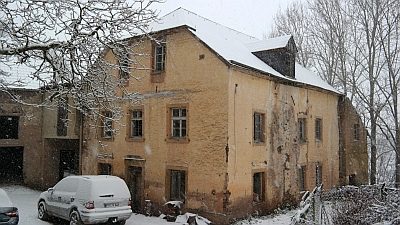 410 m
Mills
Bauschertsmühle am Oberemmeler Bach
No picture
440 m
Fortresses and Bunkers
Westwall - Maschinengewehr-Schartenstand
No picture
490 m
Field Names
Aufm Teich im Wittumhofen
No picture
510 m
Field Names
Braut unterm Wittumhofen
 530 m
Field Names
Unter dem Lumpertsborn
No picture
710 m
Fortresses and Bunkers
Westwall - Bunker
No picture
850 m
Vineyard Sites