Wayside Shrines and Stations of the Cross · Undated
Wegekreuz


Classification
- Subject area
- Architectural and Art Monuments
- Category
- Religious Buildings
- Object type
- Wayside Shrines and Stations of the Cross
- Date
- Undatiert
- Period
- Undated
Location
- District
- Trier-Saarburg
- Collective municipality
- Trier-Land
- Municipality
- Igel
- Street
- Hohler Weg
- Field name
- In der Schleit oberm Weg
- Coordinates
- WGS 84: 49.711518, 6.551516 (Position: exact) WGS 84: 49° 42′ 41.5″ N, 6° 33′ 05.5″ E UTM 32 (ETRS89): E 323485 · N 5509435
Sources
Data sources
- [1] Michael Grün, Trier, 2019.
On the internet
Picture credits
Last edited: 1 Oct 2020 Object ID: 48376
https://kulturdb.de/en/objekt/48376-igel-wegekreuz
Nearby
The nearest objects
No picture
100 m
Extraction and Processing of Raw Materials
Ehemaliger Steinbruch
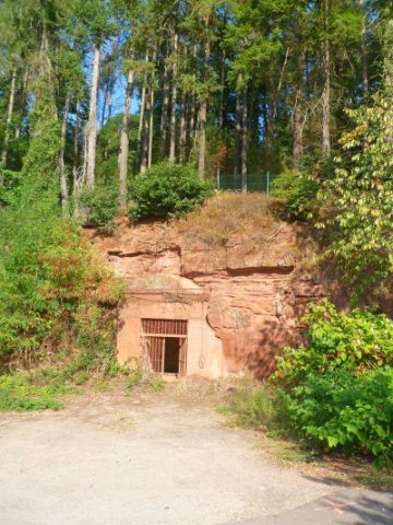 170 m
Fortresses and Bunkers
Luftschutzstollen
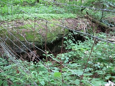 180 m
Fortresses and Bunkers
Westwall - Bunkertyp nicht eindeutig erkennbar
No picture
190 m
Fortresses and Bunkers
Westwall - Maschinengewehr-Schartenstand
No picture
200 m
Extraction and Processing of Raw Materials
Ehemaliger Steinbruch
No picture
220 m
Burial Mounds
Nekropole
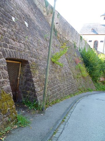 230 m
Fortresses and Bunkers
Luftschutzstollen
 260 m
Catholic Churches