Burial Mounds · Undated
Grabhügel
- Listed monument

Classification
- Subject area
- Archaeological Monuments
- Category
- Burials
- Object type
- Burial Mounds
- Date
- Undatiert
- Period
- Undated
Location
- District
- Eifelkreis Bitburg-Prüm
- Collective municipality
- Bitburger Land
- Municipality
- Oberkail
- Field name
- Wascheid
- Coordinates
- WGS 84: 50.048514, 6.655636 (Position: exact) WGS 84: 50° 02′ 54.7″ N, 6° 39′ 20.3″ E UTM 32 (ETRS89): E 332164 · N 5546658
Sources
Data sources
- [1] Geodaten von OpenStreetMap die freie Weltkarte. http://www.openstreetmap.org CC-BY-SA, 2019.
On the internet
Picture credits
- Picture 1: © Lothar Monshausen, Fotostream http://www.flickr.com/photos/lomo56/tags/meteorite/
Last edited: 12 Jul 2019 Object ID: 48384
https://kulturdb.de/en/objekt/48384-oberkail-grabhuegel
Nearby
The nearest objects
No picture
470 m
Mills
Ehemalige Holzschneidemühle
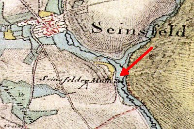 480 m
Mills
Ehemalige Seinsfelder Mühle
No picture
610 m
Field Names
Mühlenberg
No picture
620 m
Burial Mounds
Grabhügel
No picture
620 m
Field Names
Gründchen
No picture
970 m
Field Names
Mauvoll
No picture
1.2 km
Surveying
Trigonometrisches Signal
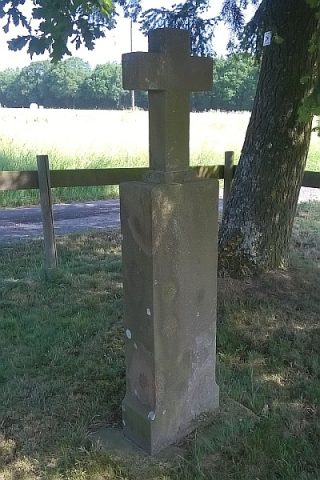 1.2 km
Wayside Shrines and Stations of the Cross