Fountains and Wells · Undated
Keltenbrunnen


© GeoBasis-DE / LVermGeoRP, dl-de/by-2-0
There is no picture of this object yet. Do you have a photo that you would like to make available to the Kulturdatenbank? Submit a picture
Classification
- Subject area
- Architectural and Art Monuments
- Category
- Fountains and Wells
- Date
- Undatiert
- Period
- Undated
Location
- District
- Bernkastel-Wittlich
- Collective municipality
- Wittlich-Land
- Municipality
- Landscheid
- Field name
- Landscheider Überbüsch
- Coordinates
- WGS 84: 50.001140, 6.722757 (Position: exact) WGS 84: 50° 00′ 04.1″ N, 6° 43′ 21.9″ E UTM 32 (ETRS89): E 336808 · N 5541242
Sources
Data sources
- [1] Geodaten von OpenStreetMap die freie Weltkarte. http://www.openstreetmap.org CC-BY-SA, 2019.
On the internet
Last edited: 12 Jul 2019 Object ID: 48385
https://kulturdb.de/en/objekt/48385-landscheid-keltenbrunnen
Nearby
The nearest objects
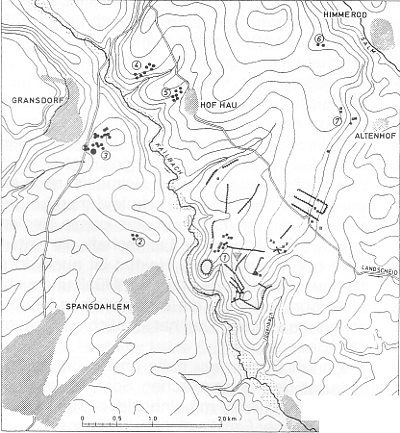 290 m
Ring Forts
Ringwall Burgscheider Mauer (1)
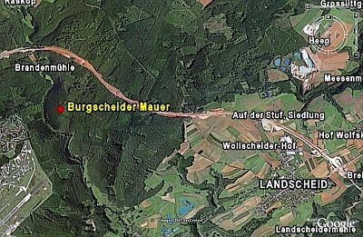 330 m
Ring Forts
Burgscheider Mauer
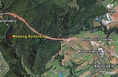 390 m
Deserted Settlements
Wüstung Burscheid
430 m
Ring Forts
Ringwall Burgscheider Mauer (2)
No picture
540 m
Fords
Furt durch den Kailbach
No picture
610 m
Mills
Brandenmühle
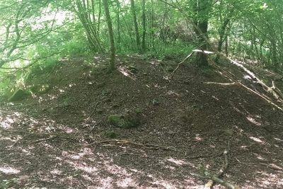 660 m
Castles
Ehemalige Brandenburg
No picture
920 m
Viewpoints