Wayside Shrines and Stations of the Cross · Undated
Wegekreuz

Classification
- Subject area
- Architectural and Art Monuments
- Category
- Religious Buildings
- Object type
- Wayside Shrines and Stations of the Cross
- Date
- Undatiert
- Period
- Undated
Location
- District
- Trier-Saarburg
- Collective municipality
- Trier-Land
- Municipality
- Hockweiler
- Street
- Gegenüber Irscher Straße 11
- Field name
- In Harnisch
- Coordinates
- WGS 84: 49.704060, 6.691310 (Position: exact) WGS 84: 49° 42′ 14.6″ N, 6° 41′ 28.7″ E UTM 32 (ETRS89): E 333537 · N 5508286
Sources
Data sources
- [1] Michael Grün, Trier, 2019.
On the internet
Picture credits
- Picture 1: © Michael Grün, Trier, 2019.
Last edited: 24 Jul 2019 Object ID: 48409
https://kulturdb.de/en/objekt/48409-hockweiler-wegekreuz
Nearby
The nearest objects
No picture
100 m
Place Names / Local History
Erste Erwähnung als Hockweiler
 100 m
Coats of Arms
Wappen der Gemeinde Hockweiler
No picture
180 m
Field Names
Auf Grufhüwel
No picture
200 m
Field Names
Sperbelnbungert
No picture
210 m
Field Names
In den Zwergfeldern
 250 m
Extraction and Processing of Raw Materials
Ehemalige Eisenerzgrube
 290 m
Churches
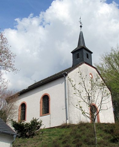
Sankt Maria Himmelskönigin
 300 m
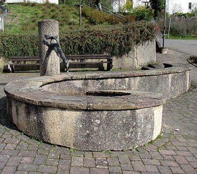
Fountains and Wells