Wayside Shrines and Stations of the Cross · Undated
Wegekreuz

Classification
- Subject area
- Architectural and Art Monuments
- Category
- Religious Buildings
- Object type
- Wayside Shrines and Stations of the Cross
- Date
- Undatiert
- Period
- Undated
Location
- District
- Trier-Saarburg
- Collective municipality
- Saarburg-Kell
- Municipality
- Freudenburg
- Field name
- Herrenwald
- Coordinates
- WGS 84: 49.536455, 6.527237 (Position: exact) WGS 84: 49° 32′ 11.2″ N, 6° 31′ 38.1″ E UTM 32 (ETRS89): E 321095 · N 5490032
Sources
Data sources
- [1] Werner Weber, Mannebach, 2019.
On the internet
Picture credits
- Picture 1: © Werner Weber, Mannebach, 2019.
Last edited: 3 Sep 2019 Object ID: 48441
https://kulturdb.de/en/objekt/48441-freudenburg-wegekreuz
Nearby
The nearest objects
No picture
290 m
Field Names
Burgbungert
No picture
300 m
Wayside Shrines and Stations of the Cross
Wegekreuz
No picture
300 m
Field Names
Kaiserbungert
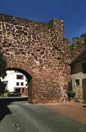 400 m
Town Houses and Commercial Buildings
Ehemaliges Wohnhaus
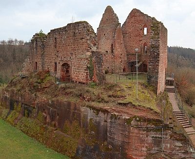 430 m
Castles
Burg
No picture
430 m
Field Names
Pittertriesch
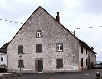 530 m
Farmhouses and Farm Buildings
Ehemalige Zehntscheune
No picture
530 m
Field Names