Wayside Shrines and Stations of the Cross · 20th Century
Friedenskreuz


Description
This description is only available in German.
Translate with Google opens this page in Google Translate (external service)
Inschriften am Schaft:
Im JAHRE 1975 ERRICHTET
[weitere Inschriften vorhanden] [2]
Classification
- Subject area
- Architectural and Art Monuments
- Category
- Religious Buildings
- Object type
- Wayside Shrines and Stations of the Cross
- Date
- 1975
- Period
- 20th Century
- Creator, builder, architect, artist
- Müller, Matthias (Bildhauer), Hermeskeil
Location
- District
- Trier-Saarburg
- Town
- Hermeskeil
- Street
- Saarstraße
- Field name
- Ortslage
- Coordinates
- WGS 84: 49.652889, 6.948119 (Position: exact) WGS 84: 49° 39′ 10.4″ N, 6° 56′ 53.2″ E UTM 32 (ETRS89): E 351897 · N 5502060
Sources
Data sources
- [1] Aus dem Hochwald. Wegekreuze und Gedenksteine. Hrsg. Arbeitskreis Heimatkunde Bildungswerk Johanneshaus Hermeskeil. Hermeskeil 1991.
- [2] Michael Grün, Trier, 2021.
On the internet
Picture credits
Last edited: 4 Aug 2021 Object ID: 48459
https://kulturdb.de/en/objekt/48459-hermeskeil-friedenskreuz
Nearby
The nearest objects
 20 m
Works of Art
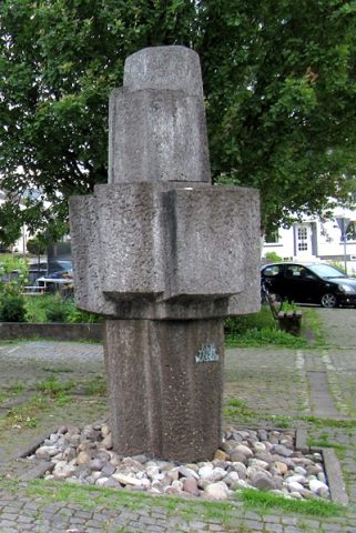
Stölpe-Pater-Brunnen
 20 m
Coats of Arms
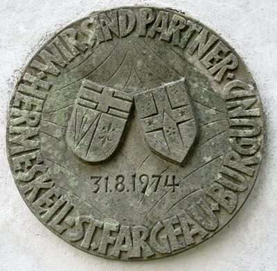
Städtepartnerschaftssiegel
 20 m
Burial Sites
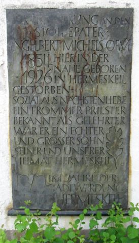
Erinnerungstafel
 80 m
Chestnut Trees
Rosskastanie
80 m
Chestnut Trees
Rosskastanie
 120 m
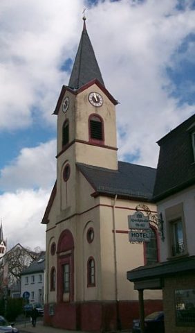
Protestant Churches
Evangelische Kirche
 290 m
Schools
Ehemalige Landwirtschaftsschule
 310 m
Market Towns