Wayside Shrines and Stations of the Cross · 20th Century
Wegekreuz


Description
This description is only available in German.
Translate with Google opens this page in Google Translate (external service)
Beim Höhenpunkt 133,0 Meter über NHN.
Classification
- Subject area
- Architectural and Art Monuments
- Category
- Religious Buildings
- Object type
- Wayside Shrines and Stations of the Cross
- Date
- 1991
- Period
- 20th Century
Location
- District
- Trier-Saarburg
- Collective municipality
- Schweich an der römischen Weinstraße
- Municipality
- Leiwen
- Street
- Ecke Mühlenstraße / Stephanusstraße
- Field name
- Ortslage
- Coordinates
- WGS 84: 49.822058, 6.878030 (Position: exact) WGS 84: 49° 49′ 19.4″ N, 6° 52′ 40.9″ E UTM 32 (ETRS89): E 347370 · N 5521007
Sources
Data sources
- [1] Michael Grün, Trier, 2019.
On the internet
Picture credits
Last edited: 18 Sep 2019 Object ID: 48474
https://kulturdb.de/en/objekt/48474-leiwen-wegekreuz
Nearby
The nearest objects
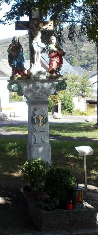 140 m
Wayside Shrines and Stations of the Cross
Bildstock
 150 m
Catholic Churches
Sankt Stephan und Rochus (1)
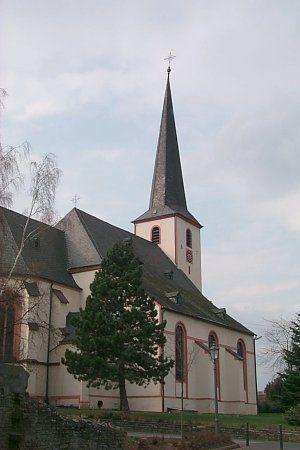 150 m
Catholic Churches
Sankt Stephan und Rochus (2)
No picture
160 m
Mills
Ehemalige Mühle
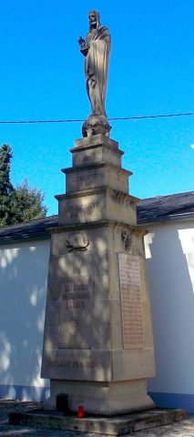 180 m
War Memorials
Ehrenmal
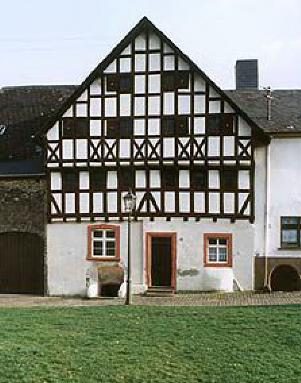 180 m
Town Houses and Commercial Buildings
Fachwerkhaus
 180 m
Synagogues
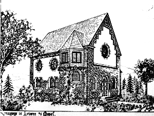
Ehemalige Neue Synagoge
 240 m
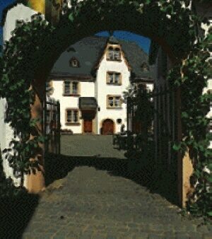
Farmhouses and Farm Buildings