Wayside Shrines and Stations of the Cross · Baroque / Rococo
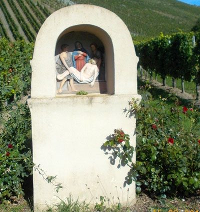
Kreuzweg zur Märtyrerkapelle - 4. Station
- Listed monument


Classification
- Subject area
- Architectural and Art Monuments
- Category
- Religious Buildings
- Object type
- Wayside Shrines and Stations of the Cross
- Date
- 18. Jahrhundert
- Period
- Baroque / Rococo
Location
- District
- Bernkastel-Wittlich
- Collective municipality
- Bernkastel-Kues
- Municipality
- Neumagen-Dhron
- Locality / location
- Neumagen
- Field name
- Im Boden
- Coordinates
- WGS 84: 49.841405, 6.896167 (Position: exact) WGS 84: 49° 50′ 29.1″ N, 6° 53′ 46.2″ E UTM 32 (ETRS89): E 348735 · N 5523121
Sources
Data sources
- [1] Denkmalliste der Generaldirektion Kulturelles Erbe, Rheinland-Pfalz; 2010.
On the internet
Picture credits
Last edited: 19 Sep 2019 Object ID: 48490
https://kulturdb.de/en/objekt/48490-neumagen-dhron-kreuzweg-zur-maertyrerkapelle-4-station
Nearby
The nearest objects
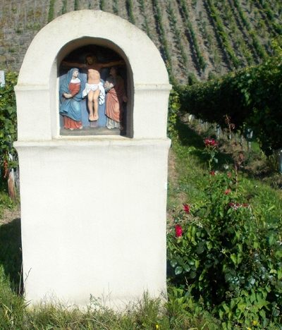 70 m
Wayside Shrines and Stations of the Cross
Kreuzweg zur Märtyrerkapelle - 5. Station
No picture
80 m
Wayside Shrines and Stations of the Cross
Kreuz am unteren Ortsende
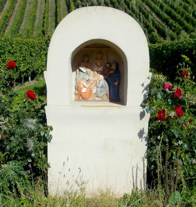 80 m
Wayside Shrines and Stations of the Cross
Kreuzweg zur Märtyrerkapelle - 3. Station
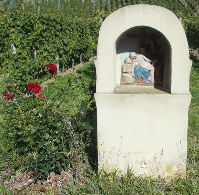 150 m
Wayside Shrines and Stations of the Cross
Kreuzweg zur Märtyrerkapelle - 6. Station
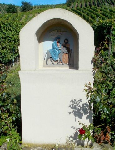 170 m
Wayside Shrines and Stations of the Cross
Kreuzweg zur Märtyrerkapelle - 2. Station
 220 m
Wayside Shrines and Stations of the Cross
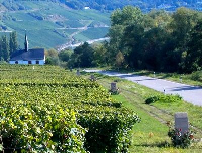
Kreuzweg zur Märtyrerkapelle - 7. Station
 230 m
Wayside Shrines and Stations of the Cross
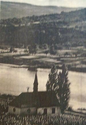
Kreuzweg zur Märtyrerkapelle - 1. Station
 240 m
Poplars