Wayside Shrines and Stations of the Cross · Historicism / Art Nouveau
Leuker Kreuz
- Listed monument


Description
This description is only available in German.
Translate with Google opens this page in Google Translate (external service)
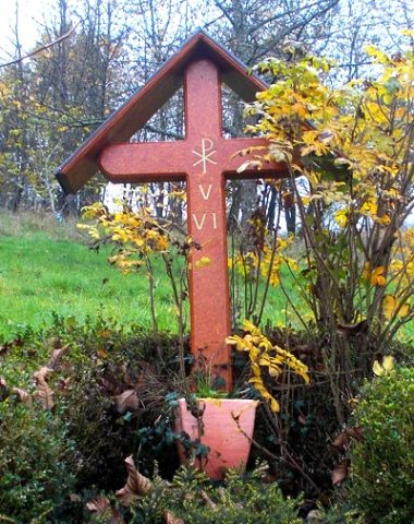
Das 1860 datierte eiserne Kreuz [...] ist stark erneuert und bezeichnet auch die Gemarkungsgrenze zu Niederleuken. [2]
Classification
- Subject area
- Architectural and Art Monuments
- Category
- Religious Buildings
- Object type
- Wayside Shrines and Stations of the Cross
- Date
- 1860
Location
- District
- Trier-Saarburg
- Collective municipality
- Saarburg-Kell
- Municipality
- Ayl
- Field name
- Auf Tremmelt
- Coordinates
- WGS 84: 49.622889, 6.561039 (Position: exact) WGS 84: 49° 37′ 22.4″ N, 6° 33′ 39.7″ E UTM 32 (ETRS89): E 323852 · N 5499560
Sources
Data sources
- [1] Michael Grün, Trier, 2019.
- [2] Denkmaltopographie Bundesrepublik Deutschland, Kulturdenkmäler in Rheinland-Pfalz, Kreis Trier-Saarburg, 12.1 Wernersche Verlagsgesellschaft 1994
On the internet
Picture credits
Last edited: 4 Feb 2023 Object ID: 48651
https://kulturdb.de/en/objekt/48651-ayl-leuker-kreuz
Nearby
The nearest objects
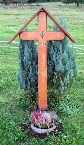 90 m
Wayside Shrines and Stations of the Cross
Kreuzweg zum Leuker Kreuz - 13. Station
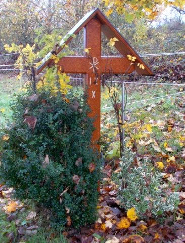 120 m
Wayside Shrines and Stations of the Cross
Kreuzweg zum Leuker Kreuz - 9. und 10. Station
Vineyard Sites
Kupp
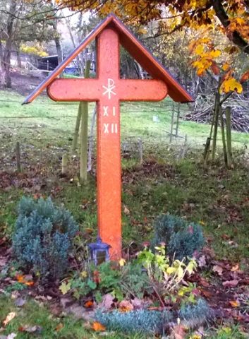 170 m
Wayside Shrines and Stations of the Cross
Kreuzweg zum Leuker Kreuz - 11. und 12. Station
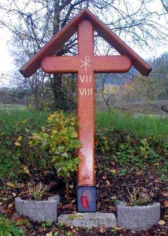 170 m
Wayside Shrines and Stations of the Cross
Kreuzweg zum Leuker Kreuz - 7. und 8. Station
Vineyard Sites
Kupp
 260 m
Wayside Shrines and Stations of the Cross
Kreuzweg zum Leuker Kreuz - 5. und 6. Station
Field Names