Wayside Shrines and Stations of the Cross · Undated
Wegekreuz

Classification
- Subject area
- Architectural and Art Monuments
- Category
- Religious Buildings
- Object type
- Wayside Shrines and Stations of the Cross
- Date
- Undatiert
- Period
- Undated
Location
- District
- Bernkastel-Wittlich
- Collective municipality
- Wittlich-Land
- Municipality
- Sehlem
- Locality / location
- Sonnenhof
- Field name
- Oben unter dem Rohrerweg
- Coordinates
- WGS 84: 49.910944, 6.845192 (Position: exact) WGS 84: 49° 54′ 39.4″ N, 6° 50′ 42.7″ E UTM 32 (ETRS89): E 345292 · N 5530955
Sources
Data sources
- [1] Michael Grün, Trier, 2019.
On the internet
Picture credits
- Picture 1: © Michael Grün, Trier, 2019.
Last edited: 3 Dec 2019 Object ID: 48788
https://kulturdb.de/en/objekt/48788-sehlem-wegekreuz
Nearby
The nearest objects
No picture
220 m
Field Names
Aufm Schlechten Morgen
No picture
270 m
Field Names
Ober dem Rohrer zur Viehtrift
No picture
290 m
Field Names
In der Acht
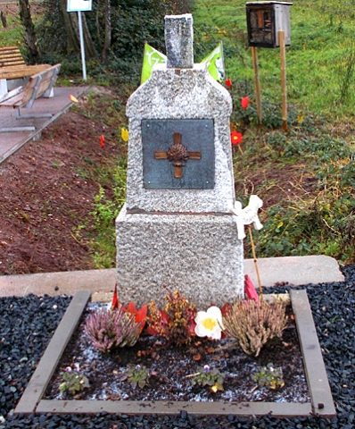 480 m
War Memorials
Ehemaliges Friedhofskreuz
No picture
540 m
Field Names
Aufm Galdberg
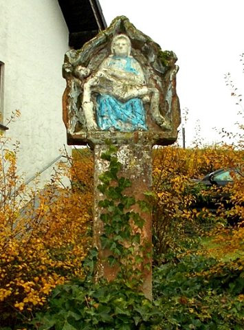 600 m
Wayside Shrines and Stations of the Cross
Bildstock
No picture
610 m
Field Names
Am Wolfsberg
No picture
660 m
Field Names