Surveying · Neoclassicism
Trigonometrisches Signal


© GeoBasis-DE / LVermGeoRP, dl-de/by-2-0
There is no picture of this object yet. Do you have a photo that you would like to make available to the Kulturdatenbank? Submit a picture
Description
This description is only available in German.
Translate with Google opens this page in Google Translate (external service)
459.8 Meter über NHN.
Unter "Signal" verstand man eine Vermessungsstelle mit einem weithin sichtbaren Holzgestell, welches in einer langen Stange auslief, an deren Ende sich eine Art Holzkreuz befand. [2]
Classification
- Subject area
- Architectural and Art Monuments
- Category
- Markers and Monuments
- Object type
- Surveying
- Date
- 1816
- Period
- Neoclassicism
Location
- District
- Bernkastel-Wittlich
- Collective municipality
- Thalfang am Erbeskopf
- Municipality
- Breit
- Field name
- Beim Heiligenhäuschen
- Coordinates
- WGS 84: 49.769061, 6.919839 (Position: exact) WGS 84: 49° 46′ 08.6″ N, 6° 55′ 11.4″ E UTM 32 (ETRS89): E 350213 · N 5515031
Sources
Data sources
- [1] Kartenaufnahme der Rheinlande - durch Tranchot und von Müfflin, Blatt Thalfang, Jahrgang: etwa 1816, Aufnahme durch Ing. Geograph Maeber
- [2] Hans-Josef und Gisela Schad, Auw bei Prüm: Der Schneifelkamm war bis vor 150 Jahren stets ein baumloser kahler Heiderücken - Der Versuch diese Behauptung zu beweisen. In: Heimatkalender Eifelkreis Bitburg-Prüm 2018, ISSN 2193-7508.
On the internet
Last edited: 13 Dec 2019 Object ID: 48833
https://kulturdb.de/en/objekt/48833-breit-trigonometrisches-signal
Nearby
The nearest objects
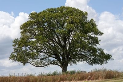 50 m
Oaks
Kugelbaum
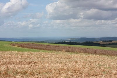 60 m
Viewpoints
Aussichtspunkt
Field Names
In der Höllenanwand
Field Names
In der Höllenanwand
Extraction and Processing of Raw Materials
Ehemaliger Schiefer-Bruch Edersberg
Extraction and Processing of Raw Materials
Ehemaliger Schiefer-Bruch Edersberg
Field Names
Auf der Wolfsheck
Extraction and Processing of Raw Materials