Field Names · Undated
Auf der Küsterei


© GeoBasis-DE / LVermGeoRP, dl-de/by-2-0
There is no picture of this object yet. Do you have a photo that you would like to make available to the Kulturdatenbank? Submit a picture
Description
This description is only available in German.
Translate with Google opens this page in Google Translate (external service)
Küster (Koster, Köster) – Bedeutung: Das betreffende Grundstück ist oder war Eigentum oder Besitz des Küsters. [1]
Classification
- Subject area
- History
- Category
- Field Names
- Date
- Undatiert
- Period
- Undated
Location
- District
- Trier-Saarburg
- Collective municipality
- Schweich an der römischen Weinstraße
- Municipality
- Fell
- Locality / location
- Fastrau
- Field name
- Auf der Küsterei
- Coordinates
- WGS 84: 49.787713, 6.770452 (Position: exact) WGS 84: 49° 47′ 15.8″ N, 6° 46′ 13.6″ E UTM 32 (ETRS89): E 339519 · N 5517413
Sources
Data sources
- [1] Dittmaier, Heinrich: Rheinische Flurnamen. Ludwig Röhrscheid Verlag, Bonn, 1963.
On the internet
Last edited: 19 Dec 2019 Object ID: 48845
https://kulturdb.de/en/objekt/48845-fell-auf-der-kuesterei
Nearby
The nearest objects
Field Names
Auf der Rotheck
Town Houses and Commercial Buildings
Quereinhaus
Field Names
Im Drittel und im Viertel
Vineyard Sites
Auf dem Wingertsberg an den Pfeilen
 360 m
Mills
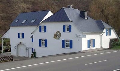
Fastrauer Mühle
Vineyard Sites
Aufm Wingertsberg
 490 m
Catholic Churches
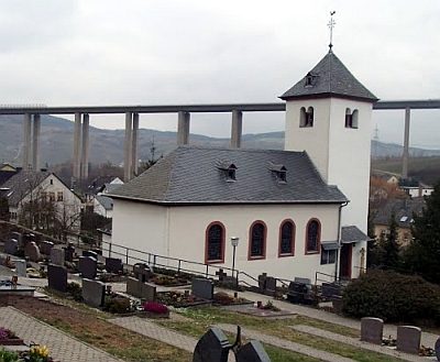
Sankt Stephan
 490 m
Wayside Shrines and Stations of the Cross