Extraction and Processing of Raw Materials · Undated
Ehemaliger Schiefer-Abbau


© GeoBasis-DE / LVermGeoRP, dl-de/by-2-0
There is no picture of this object yet. Do you have a photo that you would like to make available to the Kulturdatenbank? Submit a picture
Description
This description is only available in German.
Translate with Google opens this page in Google Translate (external service)
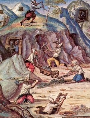
Jahrhundertelang bis in die 1950er Jahre wurde im Ruwertal Dachschieferbergbau betrieben, so zum Beispiel in den Gruben Carlsgrube bei Kasel, Vossel, Hohenkaul und St. Peter bei Waldrach, Andreasberg bei Morscheid, Karlstollen bei Riveris und in weiteren Gruben. Im Jahre 1888 gründete der Gutsbesitzer Peter Süß (aus St. Paulin, Trier) die Ruwerschiefer AG, die in ihrer Blütezeit bis zu 120 Menschen beschäftigte und bis zum Jahre 1931 bestand. [1]
Classification
- Subject area
- Architectural and Art Monuments
- Category
- Economy, Trade and Transport
- Object type
- Extraction and Processing of Raw Materials
- Date
- Undatiert
- Period
- Undated
Location
- District
- Trier-Saarburg
- Collective municipality
- Ruwer
- Municipality
- Morscheid
- Field name
- In Lonschemberg
- Coordinates
- WGS 84: 49.730987, 6.742985 (Position: exact) WGS 84: 49° 43′ 51.6″ N, 6° 44′ 34.7″ E UTM 32 (ETRS89): E 337352 · N 5511166
Sources
Data sources
- [1] Seite "Ruwertal". In: Wikipedia, Die freie Enzyklopädie. Bearbeitungsstand: 18. März 2014, 17:33 UTC. URL: http://de.wikipedia.org/w/index.php?title=Ruwertal&oldid=128647185 (Abgerufen: 21. Mai 2014, 23:36 UTC)
- [2] Geodaten von OpenStreetMap die freie Weltkarte. http://www.openstreetmap.org CC-BY-SA, 2018.
On the internet
Last edited: 23 Dec 2019 Object ID: 48880
https://kulturdb.de/en/objekt/48880-morscheid-ehemaliger-schiefer-abbau
Nearby
The nearest objects
Mills
Studentenmühle im Ruwertal
 320 m
Field Names
Mühlenberg am Faulenberg
Mills
Lichtentals-Mühle an der Ruwer
Vineyard Sites
Auf dem Wingert auf Kampelwald
 430 m
Extraction and Processing of Raw Materials
Ehemaliges Erzbergwerk
500 m
Field Names
Faulenberg
Extraction and Processing of Raw Materials
Kirchenloch Ehemaliger Schiefer-Abbau
Field Names