Field Names · Undated
Aack


© GeoBasis-DE / LVermGeoRP, dl-de/by-2-0
There is no picture of this object yet. Do you have a photo that you would like to make available to the Kulturdatenbank? Submit a picture
Description
This description is only available in German.
Translate with Google opens this page in Google Translate (external service)
Classification
- Subject area
- History
- Category
- Field Names
- Date
- Undatiert
- Period
- Undated
Location
- District
- Bernkastel-Wittlich
- Collective municipality
- Wittlich-Land
- Municipality
- Plein
- Field name
- Spalt
- Coordinates
- WGS 84: 50.015505, 6.862524 (Position: exact) WGS 84: 50° 00′ 55.8″ N, 6° 51′ 45.1″ E UTM 32 (ETRS89): E 346869 · N 5542544
Sources
Data sources
- [1]„Ack“, Rheinisches Wörterbuch, digitalisierte Fassung im Wörterbuchnetz des Trier Center for Digital Humanities, Version 01/23, <https://www.woerterbuchnetz.de/RhWB?lemid=A00430>, abgerufen am 29.07.2023.
- [2] ortsnamen.ch - Das Portal der schweizerischen Ortsnamenforschung https://search.ortsnamen.ch/de/record/1003149/
- [3] Flurkarte 1:1.000, 1930, Reproduktion Landeshauptarchiv Koblenz. In: Chronik Plein und Ankes. Hrsg. Ortsgemeinde Plein, 2018 und Kajo Schleidweiler, Plein, 2019.
On the internet
Last edited: 13 Aug 2023 Object ID: 48946
https://kulturdb.de/en/objekt/48946-plein-aack
Nearby
The nearest objects
Field Names
Fahlwies
 120 m
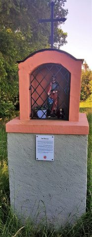
Wayside Shrines and Stations of the Cross
Donatusbildstock
Field Names
In Fahlen
Field Names
Spalteck
Field Names
Spalt
Field Names
In Ack
Field Names
Schuck
Field Names