Field Names · Undated
Im Dorf


© GeoBasis-DE / LVermGeoRP, dl-de/by-2-0
There is no picture of this object yet. Do you have a photo that you would like to make available to the Kulturdatenbank? Submit a picture
Classification
- Subject area
- History
- Category
- Field Names
- Date
- Undatiert
- Period
- Undated
Location
- District
- Bernkastel-Wittlich
- Collective municipality
- Wittlich-Land
- Municipality
- Plein
- Street
- Schladterweg
- Field name
- Ortslage
- Coordinates
- WGS 84: 50.026765, 6.871993 (Position: exact) WGS 84: 50° 01′ 36.4″ N, 6° 52′ 19.2″ E UTM 32 (ETRS89): E 347583 · N 5543776
Sources
Data sources
- [1] Flurkarte 1:1.000, 1930, Reproduktion Landeshauptarchiv Koblenz. In: Chronik Plein und Ankes. Hrsg. Ortsgemeinde Plein, 2018 und Kajo Schleidweiler, Plein, 2019.
On the internet
Last edited: 6 Jan 2020 Object ID: 49086
https://kulturdb.de/en/objekt/49086-plein-im-dorf
Nearby
The nearest objects
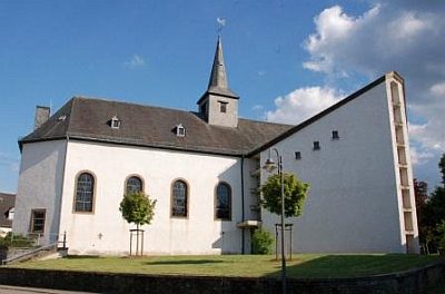 40 m
Catholic Churches
Sankt Jakobus
No picture
40 m
Organs
Sankt Jakobus - Orgel
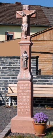 50 m
Wayside Shrines and Stations of the Cross
Jakobuskreuz
No picture
60 m
Field Names
Backespaisch
No picture
60 m
Field Names
Theispaisch
No picture
60 m
Field Names
Jungfernpaisch
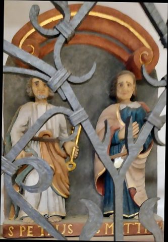 70 m
Wayside Shrines and Stations of the Cross
Relief der Apostel Petrus und Matthias
No picture
110 m
Field Names