Field Names · Undated
Brühl


© GeoBasis-DE / LVermGeoRP, dl-de/by-2-0
There is no picture of this object yet. Do you have a photo that you would like to make available to the Kulturdatenbank? Submit a picture
Description
This description is only available in German.
Translate with Google opens this page in Google Translate (external service)
Das Wort Brühl kommt aus dem Lateinisch-Althochdeutschen von bro[g]ilus, auch broil, bruil, mittelhochdeutsch brüel und bedeutet grundherrliche Wiese, eingehegter Wildpark, eingehegtes Gehölz. [...] Das Wort Brühl existiert heute noch als Orts- und Flurname und ist in West- und Süddeutschland verbreitet, heute aber meist gleichbedeutend mit fette, sumpfige Wiese. [2]
Classification
- Subject area
- History
- Category
- Field Names
- Date
- Undatiert
- Period
- Undated
Location
- District
- Bernkastel-Wittlich
- Collective municipality
- Wittlich-Land
- Municipality
- Plein
- Field name
- Brühl
- Coordinates
- WGS 84: 50.028359, 6.870254 (Position: exact) WGS 84: 50° 01′ 42.1″ N, 6° 52′ 12.9″ E UTM 32 (ETRS89): E 347463 · N 5543957
Sources
Data sources
- [1] Flurkarte 1:1.000, 1930, Reproduktion Landeshauptarchiv Koblenz. In: Chronik Plein und Ankes. Hrsg. Ortsgemeinde Plein, 2018 und Kajo Schleidweiler, Plein, 2019.
- [2] http://genwiki.genealogy.net/Br%C3%BChl
On the internet
Last edited: 28 Jan 2020 Object ID: 49104
https://kulturdb.de/en/objekt/49104-plein-bruehl
Nearby
The nearest objects
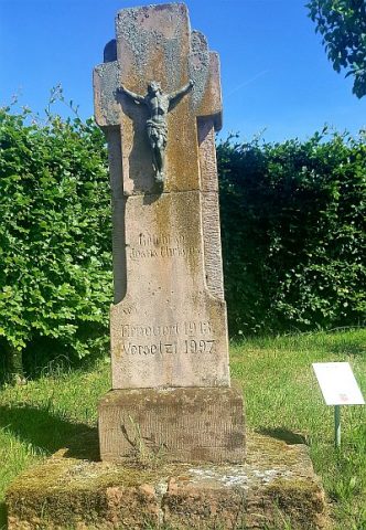 160 m
Wayside Shrines and Stations of the Cross
Noogenkreuz
Field Names
Jungfernpaisch
Field Names
Gassengarten
Field Names
Backespaisch
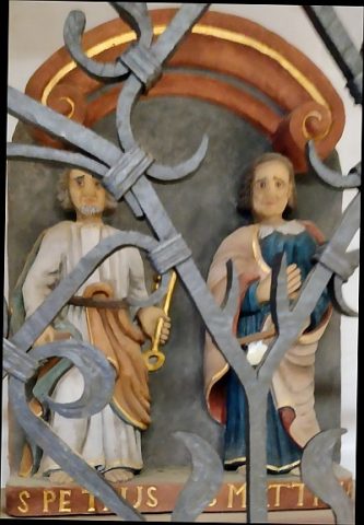 180 m
Wayside Shrines and Stations of the Cross
Relief der Apostel Petrus und Matthias
Field Names
Dürrwiese
Field Names
Urbelspaisch
Field Names