Extraction and Processing of Raw Materials · Neoclassicism
Ehemaliger Kalkofen


© GeoBasis-DE / LVermGeoRP, dl-de/by-2-0
There is no picture of this object yet. Do you have a photo that you would like to make available to the Kulturdatenbank? Submit a picture
Classification
- Subject area
- Architectural and Art Monuments
- Category
- Economy, Trade and Transport
- Object type
- Extraction and Processing of Raw Materials
- Date
- 1850
- Period
- Neoclassicism
Location
- District
- City of Trier
- Collective municipality
- Verbandsfreie Gemeinde Trier
- Town
- Trier
- Locality / location
- Trier-Süd
- Street
- Konrad-Adenauer-Brücke
- Field name
- Ortslage
- Coordinates
- WGS 84: 49.738950, 6.629983 (Position: exact) WGS 84: 49° 44′ 20.2″ N, 6° 37′ 47.9″ E UTM 32 (ETRS89): E 329238 · N 5512302
Sources
Data sources
- [1] Preußische Kartenaufnahme, Historische Karten: Originale im Besitz der Kartenabteilung der Staatsbibliothek zu Berlin, Maßstab 1:25000, Uraufnahme (1843 - 1878) Blattnummer: 3476, Jahrgang: 1850, Blattname: Trier
On the internet
Last edited: 12 Apr 2020 Object ID: 49360
https://kulturdb.de/en/objekt/49360-trier-sued-ehemaliger-kalkofen
Nearby
The nearest objects
No picture
30 m
Extraction and Processing of Raw Materials
Ehemaliger Kalkofen
No picture
40 m
Extraction and Processing of Raw Materials
Römisches Töpfereiviertel
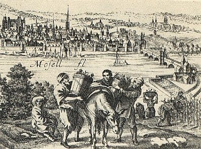 70 m
Vineyard Sites
Steinrausch (bei Sankt Matthias)
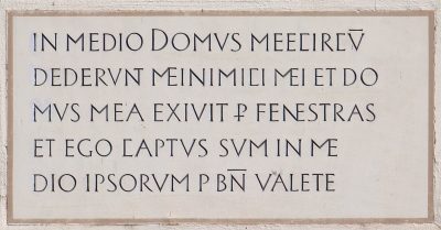 90 m
Inscriptions
Sankt Matthias - Gerichtshaus Inschrift
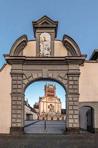 90 m
Legal Monuments
Sankt Matthias - Torhaus
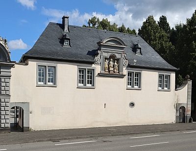 90 m
Legal Monuments
Sankt Matthias - Gerichtshaus
 90 m
Schools
Gymnasium Ausone
 100 m
Town Houses and Commercial Buildings