Forest Names · Historicism / Art Nouveau
Ihl-Büsch


© GeoBasis-DE / LVermGeoRP, dl-de/by-2-0
There is no picture of this object yet. Do you have a photo that you would like to make available to the Kulturdatenbank? Submit a picture
Classification
- Subject area
- History
- Category
- Field Names
- Object type
- Forest Names
- Date
- 1895
Location
- District
- Trier-Saarburg
- Collective municipality
- Saarburg-Kell
- Municipality
- Merzkirchen
- Field name
- Ihlbüsch
- Coordinates
- WGS 84: 49.581352, 6.468406 (Position: exact) WGS 84: 49° 34′ 52.9″ N, 6° 28′ 06.3″ E UTM 32 (ETRS89): E 317007 · N 5495164
Sources
Data sources
- [1] Topographische Karte 1:25000 von 1895 https://geo4.service24.rlp.de/client/lf/lawa/
On the internet
Last edited: 24 Apr 2020 Object ID: 49382
https://kulturdb.de/en/objekt/49382-merzkirchen-ihl-buesch
Nearby
The nearest objects
No picture
270 m
Entrenchments
Alte Schanze auf dem Ihlknöpfchen
No picture
320 m
Field Names
Unterm Kirchenbaum
No picture
390 m
Field Names
In Kirchbusch
No picture
410 m
Entrenchments
Ehemalige östereichische Schanze
 480 m
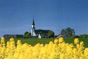
Place Names / Local History
Ortsgeschichte Merzkirchen
 530 m
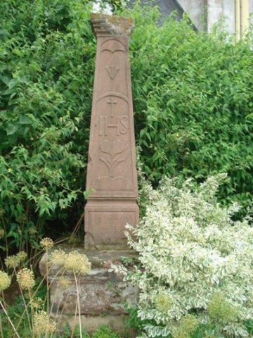
Wayside Shrines and Stations of the Cross
Hein-Kreuz an der Kirchhofsmauer
No picture
540 m
Entrenchments
Ehemalige östereichische Schanze
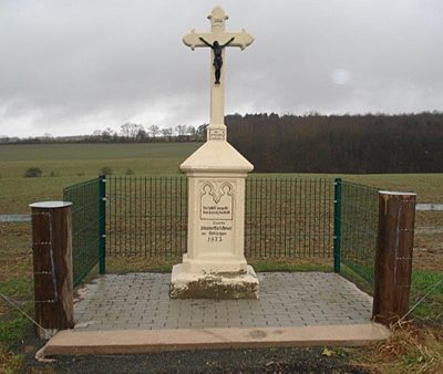 560 m
Wayside Shrines and Stations of the Cross