Churches · Gothic
Ehemalige Kirche auf dem Münsterberg


© GeoBasis-DE / LVermGeoRP, dl-de/by-2-0
There is no picture of this object yet. Do you have a photo that you would like to make available to the Kulturdatenbank? Submit a picture
Description
This description is only available in German.
Translate with Google opens this page in Google Translate (external service)
Die alte, vermutlich um 1500 erbaute Kirche stand südöstlich des Ortes auf dem Münsterberg und wurde 1836/37 wegen Baufälligkeit abgebrochen. [...] Ihren Standort markierte bis in jüngster Zeit ein großes, wohl aus der ersten Hälfte des 17. Jahrhunderts stammendes Sandsteinkreuz, das vor wenigen Jahren auf den neu errichteten Friedhof am östlichen Ortsrnd versetzt wurde. [1]
Classification
- Subject area
- Architectural and Art Monuments
- Category
- Religious Buildings
- Object type
- Churches
- Date
- Um 1500
- Period
- Gothic
Location
- District
- Eifelkreis Bitburg-Prüm
- Collective municipality
- Prüm
- Municipality
- Gondenbrett
- Field name
- Am Münsterberg
- Coordinates
- WGS 84: 50.228954, 6.415795 (Position: exact) WGS 84: 50° 13′ 44.2″ N, 6° 24′ 56.9″ E UTM 32 (ETRS89): E 315690 · N 5567283
Sources
Data sources
- [1] Denkmaltopographie Bundesrepublik Deutschland, Kulturdenkmäler in Rheinland-Pfalz, Kreis Bitburg-Prüm, 9.3 Wernersche Verlagsgesellschaft ISBN 3-88462-170-X
On the internet
Last edited: 21 Nov 2021 Object ID: 49409
https://kulturdb.de/en/objekt/49409-gondenbrett-ehemalige-kirche-auf-dem-muensterberg
Nearby
The nearest objects
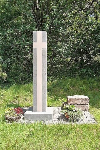 20 m
Wayside Shrines and Stations of the Cross
Neues Münsterbergkreuz
Wayside Shrines and Stations of the Cross
Münsterbergkreuz - alter Standort
Field Names
Auf der Lohdell
Field Names
In der Lohdell
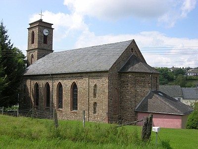 560 m
Catholic Churches
Sankt Dionysius
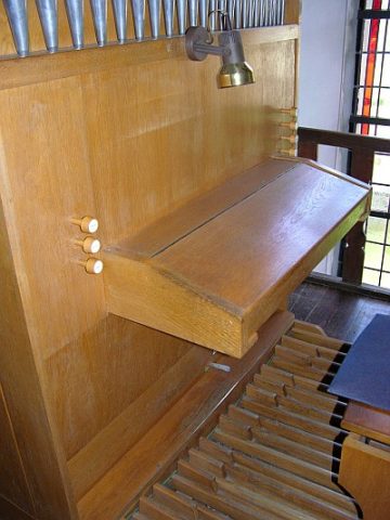 560 m
Organs
Sankt Dionysius - Orgel
Churches
Münsterbergkreuz, neuer Standort
Wayside Shrines and Stations of the Cross