Extraction and Processing of Raw Materials · Historicism / Art Nouveau
Ehemaliger Steinbruch


© GeoBasis-DE / LVermGeoRP, dl-de/by-2-0
There is no picture of this object yet. Do you have a photo that you would like to make available to the Kulturdatenbank? Submit a picture
Classification
- Subject area
- Architectural and Art Monuments
- Category
- Economy, Trade and Transport
- Object type
- Extraction and Processing of Raw Materials
- Date
- 1889
Location
- District
- Trier-Saarburg
- Collective municipality
- Schweich an der römischen Weinstraße
- Municipality
- Fell
- Field name
- Im Hahnenberg
- Coordinates
- WGS 84: 49.773031, 6.796855 (Position: exact) WGS 84: 49° 46′ 22.9″ N, 6° 47′ 48.7″ E UTM 32 (ETRS89): E 341371 · N 5515725
Sources
Data sources
- Karte der Umgegend von Trier : in zwei Blättern. - Aufn. 1885, hrsg. 1889. - 1:25 000. - [Berlin] : Königl. Preuss. Landes-Aufnahme, 1889. - 1 Kt. auf 2 Bl. : mehrfarb. ; Blattgr. je 48 x 45 cm. Mit Höhenlinien und Schraffen. - Bl. 1 u. d. T.: Trier. - Bl. 2 u. d. T.: Pfalzel. - Die Bl. entsprechen d. späteren Meßtischbl. mit d. Nummern 6205 u. 6206. Datierung: 1889. http://www.deutschefotothek.de/documents/obj/90005133
On the internet
Last edited: 14 May 2020 Object ID: 49419
https://kulturdb.de/en/objekt/49419-fell-ehemaliger-steinbruch
Nearby
The nearest objects
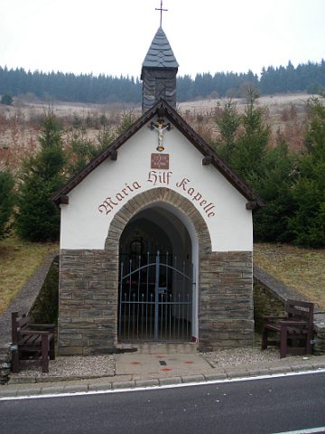 less than 10 m
Chapels
Maria-Hilf-Kapelle
No picture
90 m
Extraction and Processing of Raw Materials
Ehemaliger Steinbruch
No picture
180 m
Field Names
Im krummen Morgen
No picture
440 m
Field Names
In Oberdell
No picture
440 m
Extraction and Processing of Raw Materials
Stolleneingang
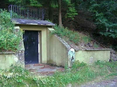 470 m
Extraction and Processing of Raw Materials
Ehemaliger Pulverbunker
No picture
560 m
Forest Names
Scharderwald
No picture
670 m
Mills