Road Transport · 20th Century
Pfeiffersbrücke
6.682597 LAT=49.798433


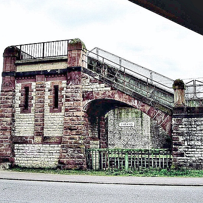
Description
This description is only available in German.
Translate with Google opens this page in Google Translate (external service)
Classification
- Subject area
- Architectural and Art Monuments
- Category
- Economy, Trade and Transport
- Object type
- Road Transport
- Date
- 1949
- Period
- 20th Century
Location
- District
- City of Trier
- Collective municipality
- Verbandsfreie Gemeinde Trier
- Town
- Trier
- Locality / location
- Ehrang-Quint
- Street
- Verbindung Servaisstr. und Ehranger Str.
- Field name
- Ortslage
- Coordinates
- WGS 84: 49.804961, 6.685639 (Position: exact) WGS 84: 49° 48′ 17.9″ N, 6° 41′ 08.3″ E UTM 32 (ETRS89): E 333474 · N 5519515
Sources
Data sources
- [2] Jörg Busch, Trier-Biewer, 2020.
- [2] https://www.unser-stadtplan.de/stadtplan/trier/kartenstartpunkt/sta… abgerufen am: 22.06.2025
On the internet
Picture credits
Last edited: 22 Jun 2025 Object ID: 49443
https://kulturdb.de/en/objekt/49443-trier-pfeiffersbruecke
Nearby
The nearest objects
No picture
20 m
Deserted Settlements
Wüstung Gerberei am Wallenbach
 90 m
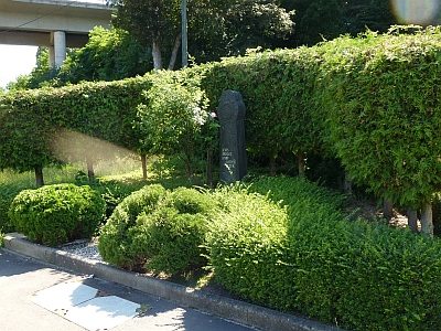
Wayside Shrines and Stations of the Cross
Wegekreuz von 1983
No picture
120 m
Field Names
Im mittelsten Pfädchen
No picture
120 m
Field Names
In der Wallenbach In der Wallenbach
No picture
130 m
Field Names
Im Guthäusgen
 130 m
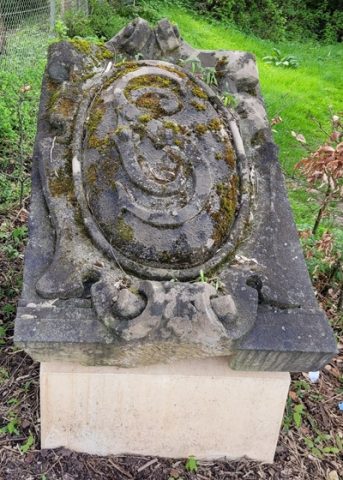
Coats of Arms
Ehemalige Villa Servais - Wappenstein
 140 m
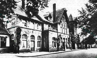
Railways
Eifelbahn (Denkmalzone)
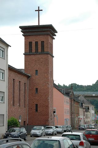 180 m
Protestant Churches