Road Transport · 20th Century
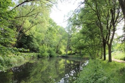
Historische Brücke über den Grundsgraben


Description
This description is only available in German.
Translate with Google opens this page in Google Translate (external service)
Die Topographische Karte von 1945 zeigt hier erstmalig eine Brücke. [1]
Classification
- Subject area
- Architectural and Art Monuments
- Category
- Economy, Trade and Transport
- Object type
- Road Transport
- Date
- 1945
- Period
- 20th Century
Location
- District
- Trier-Saarburg
- Collective municipality
- Trier-Land
- Municipality
- Zemmer
- Field name
- Grunzgraben
- Coordinates
- WGS 84: 49.897196, 6.680970 (Position: exact) WGS 84: 49° 53′ 49.9″ N, 6° 40′ 51.5″ E UTM 32 (ETRS89): E 333455 · N 5529779
Sources
Data sources
- [1] Topographische Karte 1:25000 von 1945 https://geo4.service24.rlp.de/client/lf/lawa/
On the internet
Picture credits
Last edited: 29 May 2020 Object ID: 49468
https://kulturdb.de/en/objekt/49468-zemmer-historische-bruecke-ueber-den-grundsgraben
Nearby
The nearest objects
 40 m
Recreation and Sports Facilities
Ehemaliges Schwimmbad
No picture
50 m
Extraction and Processing of Raw Materials
Ehemaliger Steinbruch
No picture
100 m
Field Names
Bei Mühlborn
No picture
240 m
Extraction and Processing of Raw Materials
Ehemaliger Steinbruch
No picture
340 m
Field Names
Unter Langfuhr am Grundbach
No picture
390 m
Field Names
Greberseichenborn
No picture
400 m
Field Names
Im Rosengarten
No picture
490 m
Field Names