Field Names · Undated
Ort


© GeoBasis-DE / LVermGeoRP, dl-de/by-2-0
There is no picture of this object yet. Do you have a photo that you would like to make available to the Kulturdatenbank? Submit a picture
Classification
- Subject area
- History
- Category
- Field Names
- Date
- Undatiert
- Period
- Undated
Location
- District
- Eifelkreis Bitburg-Prüm
- Collective municipality
- Speicher
- Municipality
- Orenhofen
- Street
- Auf der Katz
- Field name
- Ortslage
- Coordinates
- WGS 84: 49.897532, 6.652840 (Position: exact) WGS 84: 49° 53′ 51.1″ N, 6° 39′ 10.2″ E UTM 32 (ETRS89): E 331437 · N 5529880
Sources
Data sources
- [1] Orenhofen - Ortskern mit Kirche, nordöstlicher Teil, etwa um 1910. Maßstab ungefähr 1:800 (LHAK Abt. 737, Nr. 237, Bl. 14))
On the internet
Last edited: 31 May 2020 Object ID: 49481
https://kulturdb.de/en/objekt/49481-orenhofen-ort
Nearby
The nearest objects
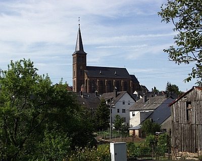 20 m
Catholic Churches
Sankt Rochus
20 m
Organs
Sankt Rochus - Orgel
No picture
40 m
Field Names
Im Ort
No picture
60 m
Schools
Ehemaliges Mädchenschulhaus
No picture
70 m
Cremation Graves
Frührömische Brandgräber
No picture
80 m
Field Names
Hinter Kuhnen
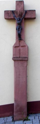 80 m
Wayside Shrines and Stations of the Cross
Nischenkreuz von 1609
No picture
80 m
Field Names