Peat Cuttings · Neoclassicism
Ehemaliger Torfstich


© GeoBasis-DE / LVermGeoRP, dl-de/by-2-0
There is no picture of this object yet. Do you have a photo that you would like to make available to the Kulturdatenbank? Submit a picture
Classification
- Subject area
- Natural Features
- Category
- Bogs and Mires
- Object type
- Peat Cuttings
- Date
- 1850
- Period
- Neoclassicism
Location
- District
- Eifelkreis Bitburg-Prüm
- Collective municipality
- Prüm
- Municipality
- Wallersheim
- Field name
- Auf Zanderscheid
- Coordinates
- WGS 84: 50.168900, 6.537700 (Position: exact) WGS 84: 50° 10′ 08.0″ N, 6° 32′ 15.7″ E UTM 32 (ETRS89): E 324163 · N 5560312
Sources
Data sources
- [1] Preußische Kartenaufnahme 1:25000 Uraufnahme (1843-1878), Blatt.: 3359, Mürlenbach von 1850, © GeoBasis-DE / LVermGeoRP 2016, dl-de/by-2-0, www.lvermgeo.rlp.de
On the internet
Last edited: 3 Jun 2020 Object ID: 49491
https://kulturdb.de/en/objekt/49491-wallersheim-ehemaliger-torfstich
Nearby
The nearest objects
No picture
230 m
Cremation Graves
Römische Brandgräber
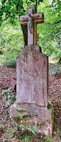 570 m
Wayside Shrines and Stations of the Cross
Wegekreuz
No picture
720 m
Field Names
Unter dem Lindentriesch
No picture
820 m
Wayside Shrines and Stations of the Cross
Wegekreuz
No picture
1.0 km
Wayside Shrines and Stations of the Cross
Wegekreuz beim Haus Waidmannsruh
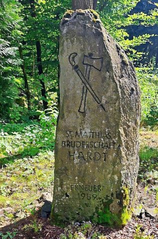 1.1 km
Pilgrimage Routes
Pilgerstein der SMB Hardt
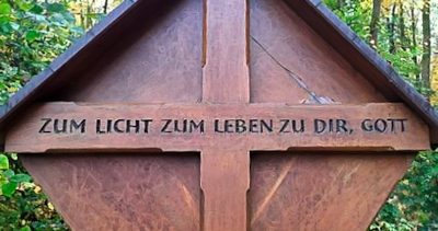 1.1 km
Wayside Shrines and Stations of the Cross
Holzkreuz
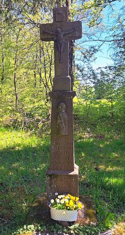 1.2 km
Wayside Shrines and Stations of the Cross