Water Supply · 20th Century
Wasserhochbehälter


Classification
- Subject area
- Architectural and Art Monuments
- Category
- Water Supply
- Date
- 1945
- Period
- 20th Century
Location
- District
- Trier-Saarburg
- Collective municipality
- Trier-Land
- Municipality
- Zemmer
- Street
- Waldstraße
- Field name
- Fortwies
- Coordinates
- WGS 84: 49.888047, 6.695560 (Position: exact) WGS 84: 49° 53′ 17.0″ N, 6° 41′ 44.0″ E UTM 32 (ETRS89): E 334472 · N 5528730
Sources
Data sources
- [1] Annegrethe Berg, Zemmer, 2020.
- [2] Topographische Karte 1:25000 von 1910 https://geo4.service24.rlp.de/client/lf/lawa/
On the internet
Picture credits
Last edited: 5 Jun 2020 Object ID: 49498
https://kulturdb.de/en/objekt/49498-zemmer-wasserhochbehaelter
Nearby
The nearest objects
No picture
130 m
Extraction and Processing of Raw Materials
Ehemaliger Steinbruch im Grundsgraben
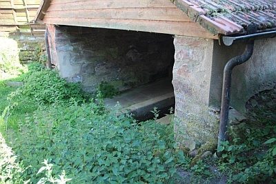 160 m
Washing Places
Waschhaus
No picture
230 m
Find Sites
Römische Fundstelle
No picture
230 m
Field Names
Hasenwies
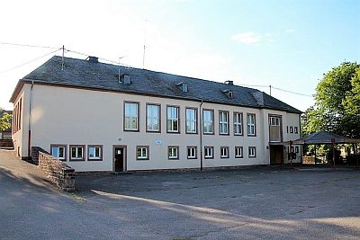 240 m
Schools
Ehemalige Schule
No picture
240 m
Extraction and Processing of Raw Materials
Ehemaliger Steinbruch am Pfaffenberg
No picture
290 m
Field Names
Karlspesch
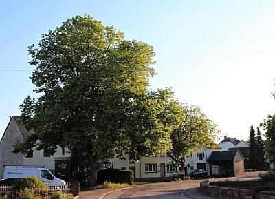 360 m
Commemorative Plantings