Viewpoints · Undated
Aussichtspunkt Riveris-Talsperre (1)
Blick von der Westseite aus


Description
This description is only available in German.
Translate with Google opens this page in Google Translate (external service)
Blick von der nordwestlichen Seite auf die Riveris-Talsperre mit Staumauer und Seitenarme. [2]
Classification
- Subject area
- Natural Features
- Category
- Viewpoints
- Date
- Undatiert
- Period
- Undated
Location
- District
- Trier-Saarburg
- Collective municipality
- Ruwer
- Municipality
- Riveris
- Field name
- Hinter Kauckelsberg
- Coordinates
- WGS 84: 49.704600, 6.762780 (Position: exact) WGS 84: 49° 42′ 16.6″ N, 6° 45′ 46.0″ E UTM 32 (ETRS89): E 338691 · N 5508190
Sources
Data sources
- [1] Wanderkarte Naturpark Saar-Hunsrück und Ruwertal. Blatt Ruwer und Hermeskeil. M.: 1:35.000
- [2] Michael Grün, Trier, 2020.
On the internet
Picture credits
Last edited: 14 Dec 2020 Object ID: 49565
https://kulturdb.de/en/objekt/49565-riveris-aussichtspunkt-riveris-talsperre-1
Nearby
The nearest objects
 200 m
Mills
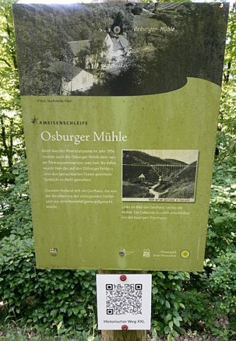
Ehemalige Osburger Mühle
No picture
210 m
Mills
Ehemalige Mühle am Riveris-Bach
 240 m
Catering, Inns and Hotels
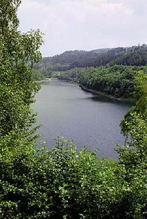
Riveris-Talsperre
 270 m
Viewpoints
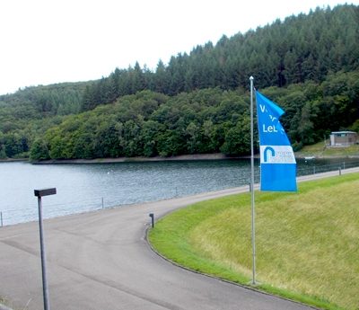
Aussichtspunkt Riveris-Talsperre (2)
No picture
370 m
Fossils
Fundstellen tierischer Versteinerungen
No picture
470 m
Fossils
Fundstellen tierischer Versteinerungen
 630 m
Wayside Shrines and Stations of the Cross
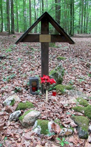
Gedenkkreuz T.Sgt. David L. Blue
No picture
760 m
Field Names