Forest Names · Baroque / Rococo
Zinziger Wald


© GeoBasis-DE / LVermGeoRP, dl-de/by-2-0
There is no picture of this object yet. Do you have a photo that you would like to make available to the Kulturdatenbank? Submit a picture
Description
This description is only available in German.
Translate with Google opens this page in Google Translate (external service)
Vom Zinziger Wald wissen wir, daß er sich im 18. Jahrundert im Besitz einer Gehöferschaft befand. [...] Von einer Versammlung der Einigsmänner und Waldgehöfer des Zenziger Waldes berichtet ein Dokument von 1745. [1]
Classification
- Subject area
- History
- Category
- Field Names
- Object type
- Forest Names
- Date
- 1745
- Period
- Baroque / Rococo
Location
- District
- Trier-Saarburg
- Collective municipality
- Trier-Land
- Municipality
- Ralingen
- Locality / location
- Wintersdorf
- Field name
- Am der Zinziger Bach
- Coordinates
- WGS 84: 49.773012, 6.519590 (Position: exact) WGS 84: 49° 46′ 22.8″ N, 6° 31′ 10.5″ E UTM 32 (ETRS89): E 321410 · N 5516346
Sources
Data sources
- [1] Bodo Bölkow: Chronik der Gemeinde Ralingen. Band 1, Ortsteile Wintersdorf und Kersch, 1988. ISBN 3-923 794-07-x
- [2] Kartenaufnahme der Rheinlande - durch Tranchot und von Müffling. Blattnummer:214, Jahrgang:1816/18, Blattname:Trier-West, Aufnahme:Leutnant von Hertell und Leutnant Graf von Monts
On the internet
Last edited: 30 Jun 2020 Object ID: 49570
https://kulturdb.de/en/objekt/49570-ralingen-zinziger-wald
Nearby
The nearest objects
Settlements
Überreste einer Villa Rustica
Fortresses and Bunkers
Westwall - Maschinengewehr-Schartenstand
Fortresses and Bunkers
Westwall - Maschinengewehr-Doppelschartenstand
Fortresses and Bunkers
Westwall - Maschinengewehr-Schartenstand
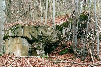 330 m
Fortresses and Bunkers
Westwall - Maschinengewehr-Schartenstand
Vineyard Sites
In der Wingertsheck
Extraction and Processing of Raw Materials
Ehemaliger Steinbruch
Roman Tombs