Forest Names · Neoclassicism
Roederwald


© GeoBasis-DE / LVermGeoRP, dl-de/by-2-0
There is no picture of this object yet. Do you have a photo that you would like to make available to the Kulturdatenbank? Submit a picture
Classification
- Subject area
- History
- Category
- Field Names
- Object type
- Forest Names
- Date
- 1816
- Period
- Neoclassicism
Location
- District
- Trier-Saarburg
- Collective municipality
- Trier-Land
- Municipality
- Ralingen
- Locality / location
- Wintersdorf
- Field name
- Im Räderbusch
- Coordinates
- WGS 84: 49.804575, 6.534095 (Position: exact) WGS 84: 49° 48′ 16.5″ N, 6° 32′ 02.7″ E UTM 32 (ETRS89): E 322570 · N 5519820
Sources
Data sources
- [1] Kartenaufnahme der Rheinlande - durch Tranchot und von Müffling. Blattnummer: 214, Jahrgang: 1816/18, Blattname: Trier-West, Aufnahme: Leutnant von Hertell und Leutnant Graf von Monts.
On the internet
Last edited: 2 Jul 2020 Object ID: 49572
https://kulturdb.de/en/objekt/49572-ralingen-roederwald
Nearby
The nearest objects
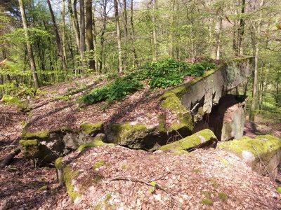 250 m
Fortresses and Bunkers
Westwall - Maschinengewehr-Schartenstand
No picture
260 m
Field Names
Röderbusch
No picture
320 m
Fortresses and Bunkers
Westwall - Maschinengewehr-Schartenstand
No picture
430 m
Fortresses and Bunkers
Westwall - Maschinengewehr-Schartenstand
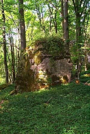 440 m
Standing Stones, Menhirs
Langenstein
No picture
500 m
Field Names
Unter den Röder
No picture
600 m
Field Names
Im Rod
No picture
610 m
Fortresses and Bunkers