Field Names · Undated
Hinter der Kirch am Frohngarten


© GeoBasis-DE / LVermGeoRP, dl-de/by-2-0
There is no picture of this object yet. Do you have a photo that you would like to make available to the Kulturdatenbank? Submit a picture
Description
This description is only available in German.
Translate with Google opens this page in Google Translate (external service)
Kirche – Als Bestimmungswort 'der Kirche benachbart' oder 'der Kirche gehörig'. Die Zusammensetzungen Kirchberg, -feld, -driesch, -kamp und ähnliche können auch die Bedeutung Kirchhof, Friedhof haben.
Fron- (Frohn-) – Bedeutung: Die Grundbedeutung des Bestimmungswortes ist 'dem Herrn gehörig' die Flurnamen bedeuten also 'Herrenland'. Weiterhin bezeichnen sie aber auch Grundstücke, an welchen Frondienste haften. [1]
Classification
- Subject area
- History
- Category
- Field Names
- Date
- Undatiert
- Period
- Undated
Location
- District
- Bernkastel-Wittlich
- Collective municipality
- Bernkastel-Kues
- Municipality
- Mülheim an der Mosel
- Locality / location
- Mülheim
- Field name
- Hinter der Kirch am Frohngarten
- Coordinates
- WGS 84: 49.912362, 7.005684 (Position: exact) WGS 84: 49° 54′ 44.5″ N, 7° 00′ 20.5″ E UTM 32 (ETRS89): E 356818 · N 5530794
Sources
Data sources
- [1] Dittmaier, Heinrich: Rheinische Flurnamen. Ludwig Röhrscheid Verlag, Bonn, 1963.
On the internet
Last edited: 14 Jul 2020 Object ID: 49610
https://kulturdb.de/en/objekt/49610-muelheim-an-der-mosel-hinter-der-kirch-am-frohngarten
Nearby
The nearest objects
Town Halls
Ehemaliges kurpfälzisches Amtshaus
 120 m
War Memorials
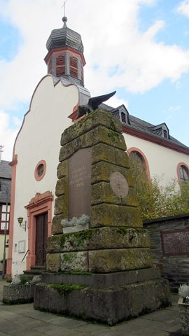
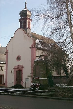
Kriegerdenkmal und Gedenktafeln bei Sankt Maria
Town Halls
Ehemaliges kurpfälzisches Amtshaus
Town Houses and Commercial Buildings
Weingut Josef Hain
Farmhouses and Farm Buildings
Quereinhaus
 130 m
Catholic Churches
Sankt Maria
Mills
Ehemalige Frohnbach-Mühle
Mills