Markers and Monuments · Undated
Markstein am Stubenberg

Description
This description is only available in German.
Translate with Google opens this page in Google Translate (external service)
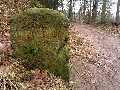
Der Grenzstein trennt die Fluren 11 (Stubenberg) und 12 (Kreuzberg) sowie den Forstbezirk 8. [1]
Classification
- Subject area
- Architectural and Art Monuments
- Category
- Markers and Monuments
- Date
- Undatiert
- Period
- Undated
Location
- District
- City of Trier
- Collective municipality
- Verbandsfreie Gemeinde Trier
- Town
- Trier
- Locality / location
- Biewer
- Field name
- Kreuzberg
- Coordinates
- WGS 84: 49.779680, 6.637590 (Position: exact) WGS 84: 49° 46′ 46.8″ N, 6° 38′ 15.3″ E UTM 32 (ETRS89): E 329928 · N 5516813
Sources
Data sources
- [1] Jörg Busch, Trier-Biewer, 2020.
On the internet
de.wikipedia.org/wiki/Trier-Biewer
Picture credits
- Picture 1: © Jörg Busch, Trier-Biewer, 2020.
Last edited: 27 Jul 2020 Object ID: 49646
https://kulturdb.de/en/objekt/49646-trier-markstein-am-stubenberg
Nearby
The nearest objects
No picture
60 m
Viewpoints
Ehemaliger Aussichtspunkt Dronkehöhe
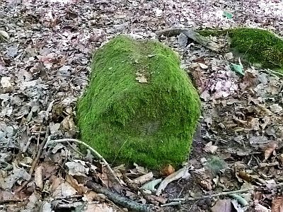 90 m
Markers and Monuments
Markstein am Stubenberg
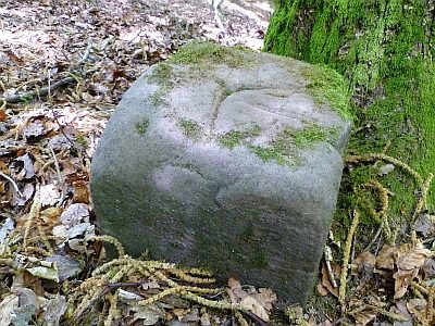 180 m
Markers and Monuments
Markstein am Stubenberg
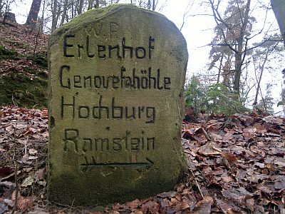 210 m
Surveying
Historischer Wegestein am Schusterskreuz
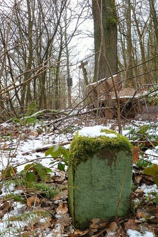 210 m
Surveying
Historischer Grenzstein am Schusterskreuz
 220 m
Surveying
Historischer Wegestein am Schusterskreuz
 220 m
Wayside Shrines and Stations of the Cross
Schusterskreuz
 220 m
Surveying