Field Names · Historicism / Art Nouveau
Über dem Dostler im rothen Sand


© GeoBasis-DE / LVermGeoRP, dl-de/by-2-0
There is no picture of this object yet. Do you have a photo that you would like to make available to the Kulturdatenbank? Submit a picture
Description
This description is only available in German.
Translate with Google opens this page in Google Translate (external service)
Flurname Dostler (noch) fraglich; evtl. nach Dost, mittelhochdeutsch doste = wilder Thymian.
Rothen Sand nach der Bodenart im Buntsandsteingelände.[1]
Classification
- Subject area
- History
- Category
- Field Names
- Date
- 1856
Location
- District
- City of Trier
- Collective municipality
- Verbandsfreie Gemeinde Trier
- Town
- Trier
- Locality / location
- Ehrang-Quint
- Street
- Ehranger Straße
- Field name
- Über dem Dostler im rothen Sand
- Coordinates
- WGS 84: 49.794730, 6.682799 (Position: exact) WGS 84: 49° 47′ 41.0″ N, 6° 40′ 58.1″ E UTM 32 (ETRS89): E 333235 · N 5518384
Sources
Data sources
- [1] Werner Schuhn: Ehrang. Landschaft, Geschichte, Gegenwart. Trier, 1989. Hrsg. Arbeitsgemeinschaft für Landesgeschichte und Volkskunde des Trierer Raumes. Sonderausgabe der Trierer Heimat.
On the internet
Last edited: 13 Aug 2020 Object ID: 49697
https://kulturdb.de/en/objekt/49697-trier-ueber-dem-dostler-im-rothen-sand
Nearby
The nearest objects
Field Names
Auf dem Dostler
Street Names
Agrobstraße
Forest Names
Am Grossholzer Fussweg
Field Names
In der Langfuhr zur Strahs
Field Names
Ober dem Dostler
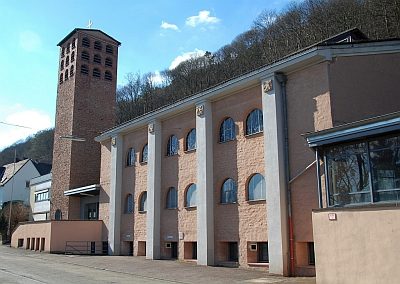 260 m
Catholic Churches
Christi Himmelfahrt
Field Names
Auf'm Schmittchen
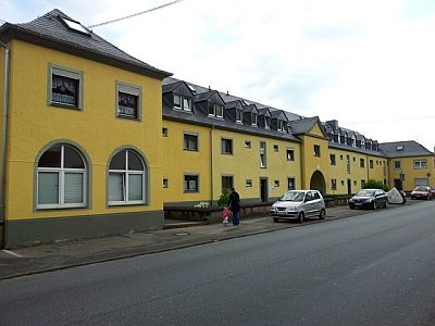 340 m
Historic Townscapes