Extraction and Processing of Raw Materials · Historicism / Art Nouveau
Schiffshafen


© GeoBasis-DE / LVermGeoRP, dl-de/by-2-0
There is no picture of this object yet. Do you have a photo that you would like to make available to the Kulturdatenbank? Submit a picture
Description
This description is only available in German.
Translate with Google opens this page in Google Translate (external service)
Nach Eröffnung der Bahnverbhindung zur Hütte (1872) wurde der Hafen mit Hochofenschlacke zugeschüttet. [1]
Classification
- Subject area
- Architectural and Art Monuments
- Category
- Economy, Trade and Transport
- Object type
- Extraction and Processing of Raw Materials
- Date
- 1856
Location
- District
- City of Trier
- Collective municipality
- Verbandsfreie Gemeinde Trier
- Town
- Trier
- Locality / location
- Ehrang-Quint
- Field name
- Quintwiese
- Coordinates
- WGS 84: 49.822404, 6.711200 (Position: exact) WGS 84: 49° 49′ 20.7″ N, 6° 42′ 40.3″ E UTM 32 (ETRS89): E 335372 · N 5521398
Sources
Data sources
- [1] Werner Schuhn: Ehrang. Landschaft, Geschichte, Gegenwart. Trier, 1989. Hrsg. Arbeitsgemeinschaft für Landesgeschichte und Volkskunde des Trierer Raumes. Sonderausgabe der Trierer Heimat.
On the internet
Last edited: 13 Aug 2020 Object ID: 49709
https://kulturdb.de/en/objekt/49709-trier-schiffshafen
Nearby
The nearest objects
Field Names
Schiffshafen
Lime Kilns
Ehemaliger Kalkofen am Moselufer
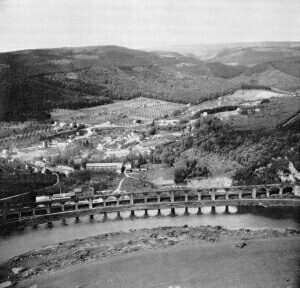 100 m
Railways
Ehemaliges Eisenbahnviadukt
 130 m
Charcoal Kilns
Ehemaliger Meilerplatz
130 m
Charcoal Kilns
Ehemaliger Meilerplatz
140 m
Charcoal Kilns
Ehemaliger Meilerplatz
150 m
Charcoal Kilns
Ehemaliger Meilerplatz
Viewpoints