Field Names · Historicism / Art Nouveau
Schützengarten


© GeoBasis-DE / LVermGeoRP, dl-de/by-2-0
There is no picture of this object yet. Do you have a photo that you would like to make available to the Kulturdatenbank? Submit a picture
Description
This description is only available in German.
Translate with Google opens this page in Google Translate (external service)
Der Übungsplatz der Schützenbruderschaft, gelegen zwischen Stadtmauer und Stadtgraben oberhalb des Brückentors. [1]
Classification
- Subject area
- History
- Category
- Field Names
- Date
- 1856
Location
- District
- City of Trier
- Collective municipality
- Verbandsfreie Gemeinde Trier
- Town
- Trier
- Locality / location
- Ehrang-Quint
- Street
- An der Ehranger Mühle
- Field name
- Ortslage
- Coordinates
- WGS 84: 49.808453, 6.684354 (Position: exact) WGS 84: 49° 48′ 30.4″ N, 6° 41′ 03.7″ E UTM 32 (ETRS89): E 333394 · N 5519906
Sources
Data sources
- [1] Werner Schuhn: Ehrang. Landschaft, Geschichte, Gegenwart. Trier, 1989. Hrsg. Arbeitsgemeinschaft für Landesgeschichte und Volkskunde des Trierer Raumes. Sonderausgabe der Trierer Heimat.
On the internet
Last edited: 13 Aug 2020 Object ID: 49733
https://kulturdb.de/en/objekt/49733-trier-schuetzengarten
Nearby
The nearest objects
Town Fortifications
Ehemaliges Marienfeldtor
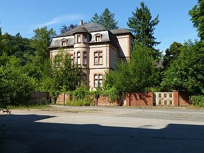 60 m
Town Houses and Commercial Buildings
Villa Seifer
Field Names
Im Pesch
Street Names
Marienfeld
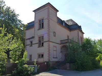 70 m
Town Houses and Commercial Buildings
Ehemalige Villa
Street Names
Marienfeldstraße
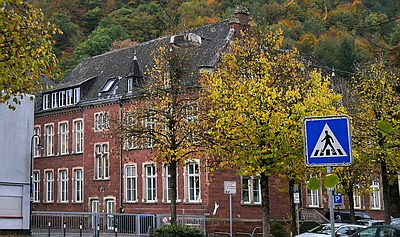 80 m
Schools
Grundschule Sankt Peter
Field Names