Field Names · Early Middle Ages / Romanesque
Quint


© GeoBasis-DE / LVermGeoRP, dl-de/by-2-0
There is no picture of this object yet. Do you have a photo that you would like to make available to the Kulturdatenbank? Submit a picture
Description
This description is only available in German.
Translate with Google opens this page in Google Translate (external service)
Im Distrikt In der Quint stand wahrscheinlich der 5. Meilenstein der Römerstraße von Trier zum Rhein (quintus lapis entspr. 5 Leugen = rd. 11 km).
Aus dem Namenkomplex: rivus qui vocatur 'Quinta' (1023 und 1203) = 'Quintbach, ad quintam est vinea' (893/1222, Prümer Urbar); in 'Quinte' prope rubeum montem (1309; betrifft wie ff. die Quintmühle); eine Moele in der 'Quinte' (1576), 'Quinterheld' (unter Wildland 1772); 'Quinthelderkopf ' (Walddistrikt 1774); 'Quintinberg', der heutige Burgberg; 'Quintwiesen' (1811). '-held' in 'Quinterheld' von moselfränkisch helt = sanft ansteigender, mit Gebüsch bestandener Abhang. [1]
Classification
- Subject area
- History
- Category
- Field Names
- Date
- 1023
Location
- District
- City of Trier
- Collective municipality
- Verbandsfreie Gemeinde Trier
- Town
- Trier
- Locality / location
- Ehrang-Quint
- Street
- Schlossstraße
- Field name
- Ortslage
- Coordinates
- WGS 84: 49.824799, 6.707613 (Position: exact) WGS 84: 49° 49′ 29.3″ N, 6° 42′ 27.4″ E UTM 32 (ETRS89): E 335122 · N 5521672
Sources
Data sources
- [1] Werner Schuhn: Ehrang. Landschaft, Geschichte, Gegenwart. Trier, 1989. Hrsg. Arbeitsgemeinschaft für Landesgeschichte und Volkskunde des Trierer Raumes. Sonderausgabe der Trierer Heimat.
On the internet
Last edited: 13 Aug 2020 Object ID: 49736
https://kulturdb.de/en/objekt/49736-trier-quint
Nearby
The nearest objects
 30 m
Settlements
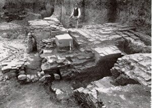
Römische Siedlung
Mills
Ehemalige Mahlmühle am Quintbach
 60 m
Ironworks
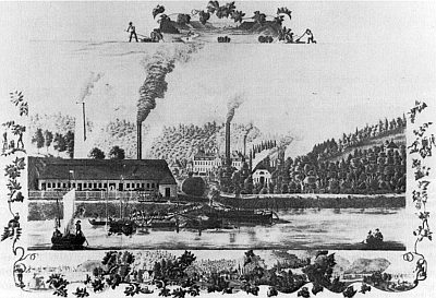
Gewerkschaft Quint
 70 m
Manorial Residences and Estate Buildings
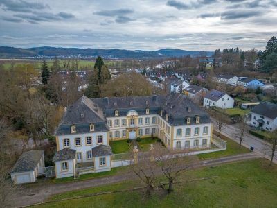
Schloss Quint
Town Houses and Commercial Buildings
Wohnhaus
 100 m
Magnolias
Lilienmagnolie
100 m
Plane Trees
Platane
110 m
Palace Gardens