Field Names · Gothic
Unter Junkersgraben


© GeoBasis-DE / LVermGeoRP, dl-de/by-2-0
There is no picture of this object yet. Do you have a photo that you would like to make available to the Kulturdatenbank? Submit a picture
Description
This description is only available in German.
Translate with Google opens this page in Google Translate (external service)
Unter Junkersgraben (1856). Lt. Weistum von 1335 'yn Junkerul' ein Acker mit Frucht. In Junkern (1737/77, dto. 1811), mundartlich an Junkan.
Name von lat. iuncus = Binse; -rul in 'Junckerul' von rigolen. [1]
Classification
- Subject area
- History
- Category
- Field Names
- Date
- 1335
- Period
- Gothic
Location
- District
- City of Trier
- Collective municipality
- Verbandsfreie Gemeinde Trier
- Town
- Trier
- Locality / location
- Ehrang-Quint
- Street
- Seiferstraße
- Field name
- Ortslage
- Coordinates
- WGS 84: 49.819326, 6.701100 (Position: exact) WGS 84: 49° 49′ 09.6″ N, 6° 42′ 04.0″ E UTM 32 (ETRS89): E 334635 · N 5521078
Sources
Data sources
- [1] Werner Schuhn: Ehrang. Landschaft, Geschichte, Gegenwart. Trier, 1989. Hrsg. Arbeitsgemeinschaft für Landesgeschichte und Volkskunde des Trierer Raumes. Sonderausgabe der Trierer Heimat.
On the internet
Last edited: 13 Aug 2020 Object ID: 49754
https://kulturdb.de/en/objekt/49754-trier-unter-junkersgraben
Nearby
The nearest objects
Street Names
Schwarzer Weg
Street Names
Seiferstraße
Field Names
Beim Steinenkreuz ober der Straße
Street Names
Ziegelstraße
Field Names
Unter Lehmsgraben unter dem Steinenkreuz
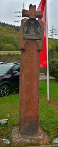 180 m
Wayside Shrines and Stations of the Cross
Milo-Kreuz
Field Names
Neupont
Vineyard Sites