Field Names · Historicism / Art Nouveau
Im Thal


© GeoBasis-DE / LVermGeoRP, dl-de/by-2-0
There is no picture of this object yet. Do you have a photo that you would like to make available to the Kulturdatenbank? Submit a picture
Classification
- Subject area
- History
- Category
- Field Names
- Date
- 1857
Location
- District
- City of Trier
- Collective municipality
- Verbandsfreie Gemeinde Trier
- Town
- Trier
- Locality / location
- Biewer
- Street
- Talstraße
- Field name
- Ortslage
- Coordinates
- WGS 84: 49.779272, 6.663184 (Position: exact) WGS 84: 49° 46′ 45.4″ N, 6° 39′ 47.5″ E UTM 32 (ETRS89): E 331769 · N 5516710
Sources
Data sources
- [1] Katasterkarte Biewer von 1857, Sammlung Jörg Busch, Trier-Biewer.
On the internet
Last edited: 13 Aug 2020 Object ID: 49768
https://kulturdb.de/en/objekt/49768-trier-im-thal
Nearby
The nearest objects
No picture
30 m
Town Houses and Commercial Buildings
Wohnhaus
 40 m
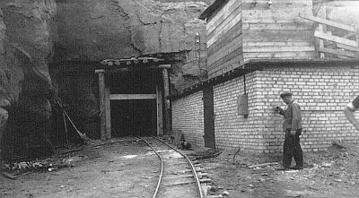
Fortresses and Bunkers
Luftschutzbunker - südlicher Eingang
No picture
50 m
Field Names
Im Dumpelsgarten
No picture
60 m
Field Names
Josterberg
 60 m
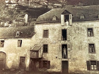
Mills
Untere Birkelsmühle
 70 m
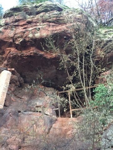
Caves
Birkel-Höhle
 70 m
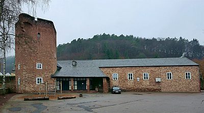
Schools
Ehemaliges Staatsjugendheim
No picture
70 m
Field Names