Historic Townscapes · Undated
Historisches Ortsbild


Description
This description is only available in German.
Translate with Google opens this page in Google Translate (external service)
Ortsbild des Bitburger Gutlandes. Gehöfte in offener Bauweise, von Hofflächen, Gärten und Wiesen umgeben. [1]
Classification
- Subject area
- Architectural and Art Monuments
- Category
- Historic Townscapes
- Date
- Undatiert
- Period
- Undated
Location
- District
- Eifelkreis Bitburg-Prüm
- Collective municipality
- Bitburger Land
- Municipality
- Dockendorf
- Field name
- Ortslage
- Coordinates
- WGS 84: 49.925600, 6.457605 (Position: within the village) WGS 84: 49° 55′ 32.2″ N, 6° 27′ 27.4″ E UTM 32 (ETRS89): E 317523 · N 5533458
Sources
Data sources
- [1] Kremb/Lautzas: Landesgeschichtlicher Exkursionsführer Rheinland-Pfalz, Bd.2, 1991; Verlag Arbogast, 6756 Otterbach
On the internet
de.wikipedia.org/wiki/Dockendorf
Picture credits
Last edited: 9 Sep 2001 Object ID: 498
https://kulturdb.de/en/objekt/498-dockendorf-historisches-ortsbild
Nearby
The nearest objects
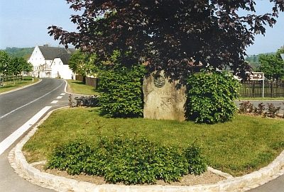 less than 10 m
Place Names / Local History
Erste Erwähnung als Duckendorf
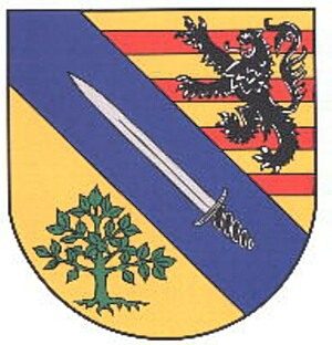 less than 10 m
Coats of Arms
Wappen der Gemeinde Dockendorf
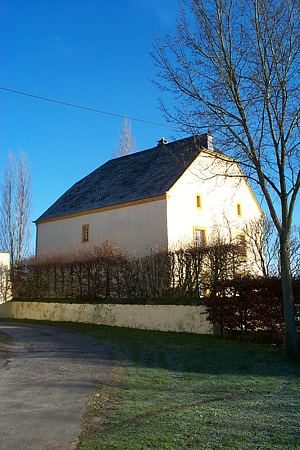 40 m
House and Villa Gardens
Gartenanlage Altes Pfarrhaus
Farmhouses and Farm Buildings
Scheunenbau
Burial Sites
Grabkreuz
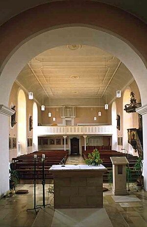 90 m
Catholic Churches
Sankt Martin (2)
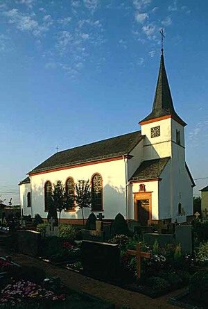 90 m
Catholic Churches
Sankt Martin (1)
Farmhouses and Farm Buildings