Field Names · Undated
Auf Tanzplatz


© GeoBasis-DE / LVermGeoRP, dl-de/by-2-0
There is no picture of this object yet. Do you have a photo that you would like to make available to the Kulturdatenbank? Submit a picture
Description
This description is only available in German.
Translate with Google opens this page in Google Translate (external service)
Tanzplatz – Bedeutung: schon im 12. bis 14. Jahrhundert hatte jedes Dorf seinen Tanzplatz, Tanzhügel. [1]
Classification
- Subject area
- History
- Category
- Field Names
- Date
- Undatiert
- Period
- Undated
Location
- District
- Bernkastel-Wittlich
- Collective municipality
- Bernkastel-Kues
- Municipality
- Gornhausen
- Street
- Marktweg
- Field name
- Auf Tanzplatz
- Coordinates
- WGS 84: 49.861060, 7.046693 (Position: exact) WGS 84: 49° 51′ 39.8″ N, 7° 02′ 48.1″ E UTM 32 (ETRS89): E 359614 · N 5525013
Sources
Data sources
- [1] Dittmaier, Heinrich: Rheinische Flurnamen. Ludwig Röhrscheid Verlag, Bonn, 1963.
On the internet
Last edited: 13 Aug 2020 Object ID: 49868
https://kulturdb.de/en/objekt/49868-gornhausen-auf-tanzplatz
Nearby
The nearest objects
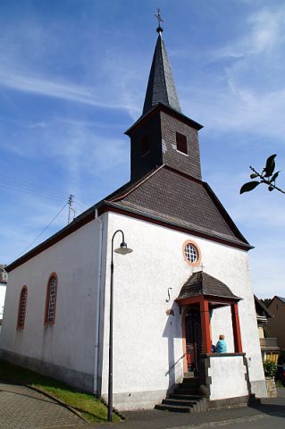 90 m
Catholic Churches
Kirche Heiliger Antonius - Außen
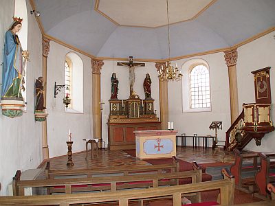 90 m
Catholic Churches
Kirche Heiliger Antonius - Innen
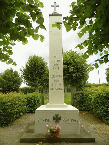 100 m
War Memorials
Kriegerdenkmal
Mills
Leinenfeldmühle
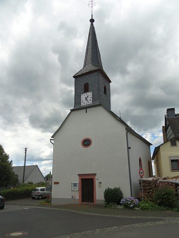 150 m
Protestant Churches
Evangelische Kirche - Außen
 160 m
Protestant Churches
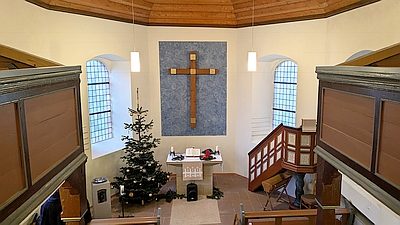
Evangelische Kirche - Innen
Farmhouses and Farm Buildings
Quereinhaus
 180 m
Market Towns