Works of Art · Undated
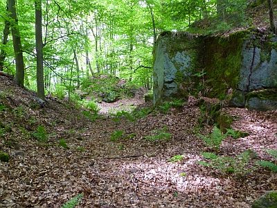
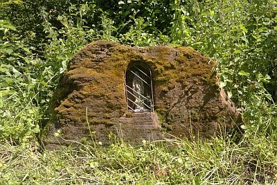
Ehemaliger Steinbruch am Steigenberg - Relief


Description
This description is only available in German.
Translate with Google opens this page in Google Translate (external service)
Der Steinbruch ist schon in der Topographische Karte von 1887 eingetragen. Das Relief ist undatiert. [Red.]
Classification
- Subject area
- Architectural and Art Monuments
- Category
- Markers and Monuments
- Object type
- Works of Art
- Date
- Undatiert
- Period
- Undated
Location
- District
- City of Trier
- Collective municipality
- Verbandsfreie Gemeinde Trier
- Town
- Trier
- Locality / location
- Biewer
- Field name
- Hochwald
- Coordinates
- WGS 84: 49.787170, 6.648360 (Position: exact) WGS 84: 49° 47′ 13.8″ N, 6° 38′ 54.1″ E UTM 32 (ETRS89): E 330730 · N 5517621
Sources
Data sources
- [1] Jürgen Birkel und Markus Albers, 2020.
- [2] Lage: Jörg Busch, Trier-Biewer, 2020.
- [3] Topographische Karte von 1887.
On the internet
de.wikipedia.org/wiki/Trier-Biewer
Picture credits
Last edited: 26 Sep 2020 Object ID: 49903
https://kulturdb.de/en/objekt/49903-trier-ehemaliger-steinbruch-am-steigenberg-relief
Nearby
The nearest objects
 40 m
Extraction and Processing of Raw Materials
Ehemaliger Steinbruch am Steigenberg
 200 m
Surveying
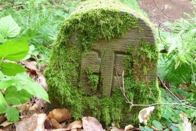
Grenzstein am Steigenberg
 220 m
Charcoal Kilns
Ehemaliger Meilerplatz
260 m
Charcoal Kilns
Ehemaliger Meilerplatz
 360 m
Mills
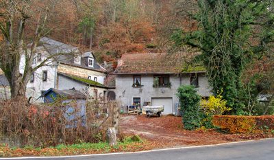
Obere Birkelsmühle am Biewerbach
 430 m
Mills
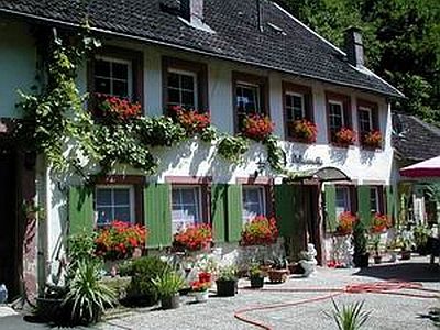
Felsenmühle am Biewerbach
520 m
Charcoal Kilns
Ehemaliger Meilerplatz
 530 m
Wayside Shrines and Stations of the Cross