Railways · 20th Century
Haltepunkt Oberbillig


© GeoBasis-DE / LVermGeoRP, dl-de/by-2-0
There is no picture of this object yet. Do you have a photo that you would like to make available to the Kulturdatenbank? Submit a picture
Classification
- Subject area
- Architectural and Art Monuments
- Category
- Economy, Trade and Transport
- Object type
- Railways
- Date
- 1935
- Period
- 20th Century
Location
- District
- Trier-Saarburg
- Collective municipality
- Konz
- Municipality
- Oberbillig
- Street
- Bahnstraße
- Field name
- Ortslage
- Coordinates
- WGS 84: 49.710290, 6.513970 (Position: exact) WGS 84: 49° 42′ 37.0″ N, 6° 30′ 50.3″ E UTM 32 (ETRS89): E 320774 · N 5509387
Sources
Data sources
- [1] Topographische Karte 1:25000 von 1935 https://geo4.service24.rlp.de/client/lf/lawa/
On the internet
Last edited: 1 Oct 2020 Object ID: 49999
https://kulturdb.de/en/objekt/49999-oberbillig-haltepunkt-oberbillig
Nearby
The nearest objects
No picture
70 m
Lime Kilns
Ehemalige Kalköfen
No picture
190 m
Burial Mounds
Römerzeitliche Nekropole
No picture
230 m
Field Names
Beim Herrenborn
No picture
300 m
Fortresses and Bunkers
Westwall - Schartenturm
 330 m
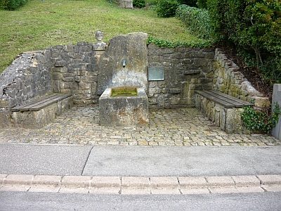
Fountains and Wells
Heidenborn
No picture
340 m
Rocks
Felswand Auf Kärlchesberg - 1. Abschnitt
No picture
440 m
Settlements
Teil des vicus von Wasserbillig
No picture
460 m
Field Names