Water Supply · Historicism / Art Nouveau
Römische Tunnelwasserleitung (Qanat)


Description
This description is only available in German.
Translate with Google opens this page in Google Translate (external service)
Der erstmals 1855 erwähnte Qanat von Mehring liegt am Nordrand der Gemeinde an der Goldkuppstrasse und stellt eine Tunnelwasserleitung da, welche eine ca. 30m unterhalb vom Eingang zum Qanat befindliche römische Villa mit frischem Bergwasser versorgte. Die Anlage wurde 1998 von Mitgliedern der Höhlen- und Karstforschungsgruppe Nordrhein und Interessengemeinschaft Altbergbau Trier vermessen und dokumentiert [...] [1]
Classification
- Subject area
- Archaeological Monuments
- Category
- Water Supply
- Date
- 1855
Location
- District
- Trier-Saarburg
- Collective municipality
- Schweich an der römischen Weinstraße
- Municipality
- Mehring
- Street
- Goldkuppstraße 18
- Field name
- In Löberich
- Coordinates
- WGS 84: 49.798964, 6.823169 (Position: exact) WGS 84: 49° 47′ 56.3″ N, 6° 49′ 23.4″ E UTM 32 (ETRS89): E 343350 · N 5518552
Sources
Data sources
- [1] Infotafel vor Ort - Auszug
On the internet
Picture credits
Last edited: 10 Nov 2020 Object ID: 50188
https://kulturdb.de/en/objekt/50188-mehring-roemische-tunnelwasserleitung-qanat
Nearby
The nearest objects
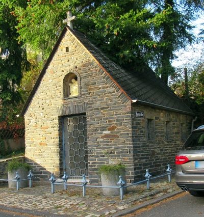 50 m
Chapels
Kapelle
Burial Mounds
Fränkischer Friedhof
Settlements
Ehemalige Hofstätte Schmidt'scher Hof
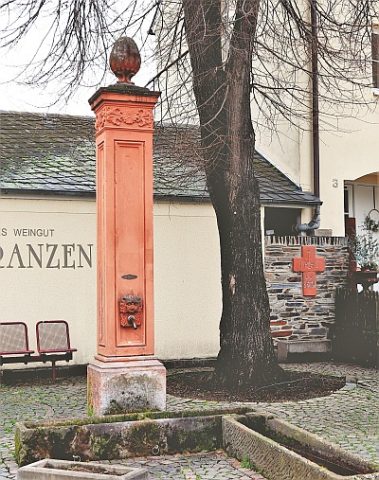 170 m
Fountains and Wells
Brunnenstock
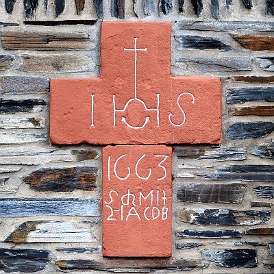 170 m
Wayside Shrines and Stations of the Cross
Balkenkreuz
Market Towns
Marktort Mehring
Field Names
Im Borngraben
 210 m
Schools