Surveying · Undated
Trigonometrischer Punkt "Auf der Feidt"


Description
This description is only available in German.
Translate with Google opens this page in Google Translate (external service)
Trigonometrischer Punkt auf Höhenpunkt 325,4 Meter über NHN. [1]
Classification
- Subject area
- Architectural and Art Monuments
- Category
- Markers and Monuments
- Object type
- Surveying
- Date
- Undatiert
- Period
- Undated
Location
- District
- City of Trier
- Collective municipality
- Verbandsfreie Gemeinde Trier
- Town
- Trier
- Locality / location
- Zewen
- Field name
- Auf der Feidt
- Coordinates
- WGS 84: 49.732871, 6.564229 (Position: exact) WGS 84: 49° 43′ 58.3″ N, 6° 33′ 51.2″ E UTM 32 (ETRS89): E 324479 · N 5511778
Sources
Data sources
- [1] RP DTK25 (
- https://geo4.service24.rlp.de/client/lf/lawa/#zoom=16&lat=49.732871…) - abgerufen am 23.11.2020
On the internet
geo4.service24.rlp.de/client/lf/lawa
Picture credits
Last edited: 22 Mar 2021 Object ID: 50198
https://kulturdb.de/en/objekt/50198-trier-trigonometrischer-punkt-auf-der-feidt
Nearby
The nearest objects
No picture
250 m
Fortresses and Bunkers
Westwall - Bunker
No picture
310 m
Fortresses and Bunkers
Westwall - Munitionslager
No picture
320 m
Fortresses and Bunkers
Westwall - Gefechtsstand (Inf. Komp. führer)
No picture
330 m
Fortresses and Bunkers
Westwall - Munitionslager
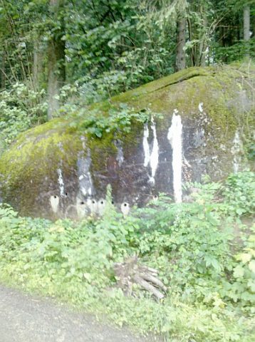 350 m
Fortresses and Bunkers
Westwall - Bunker
No picture
410 m
Mills
Ehemalige Obere Zewener Mühle
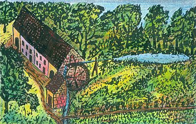 500 m
Mills
Ehemalige Hengelsmühle am Zewener Bach
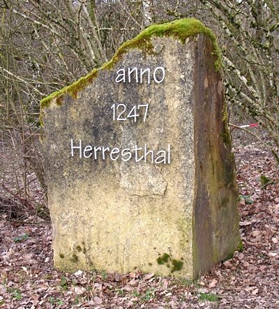 600 m
Works of Art