Wayside Shrines and Stations of the Cross · Undated
Wegekreuz in einer Weinbergsmauer


Classification
- Subject area
- Architectural and Art Monuments
- Category
- Religious Buildings
- Object type
- Wayside Shrines and Stations of the Cross
- Date
- Undatiert
- Period
- Undated
Location
- District
- Trier-Saarburg
- Collective municipality
- Saarburg-Kell
- Municipality
- Ayl
- Field name
- Im untersten Berg
- Coordinates
- WGS 84: 49.634615, 6.561593 (Position: exact) WGS 84: 49° 38′ 04.6″ N, 6° 33′ 41.7″ E UTM 32 (ETRS89): E 323934 · N 5500862
Sources
Data sources
- [1] Werner Weber, Mannebach, 2020.
On the internet
Picture credits
Last edited: 12 Apr 2021 Object ID: 50227
https://kulturdb.de/en/objekt/50227-ayl-wegekreuz-in-einer-weinbergsmauer
Nearby
The nearest objects
 100 m
Wayside Shrines and Stations of the Cross
Wegekreuz
No picture
120 m
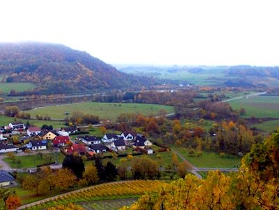
Vineyard Sites
Neuberg
 280 m
Viewpoints
Aussichtspunkt Ayler Kupp
No picture
520 m
War Memorials
Kriegerdenkmal 1914/18
No picture
530 m
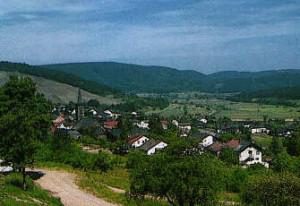
Vineyard Sites
Kupp
 550 m
Place Names / Local History
Ortsname / Ortsgeschichte Ayl
No picture
750 m
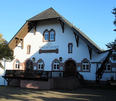
Wayside Shrines and Stations of the Cross
Kreuzigungsbildstock
 810 m
Town Houses and Commercial Buildings