Wayside Shrines and Stations of the Cross · Renaissance
Nischenkreuz
- Listed monument


Description
This description is only available in German.
Translate with Google opens this page in Google Translate (external service)
Nischenkreuz, wohl vom Ende des 17. oder Anfang des 18. Jahrhunderts. [1]
Classification
- Subject area
- Architectural and Art Monuments
- Category
- Religious Buildings
- Object type
- Wayside Shrines and Stations of the Cross
- Date
- Ende des 17. Jahrhunderts
- Period
- Renaissance
Location
- District
- Eifelkreis Bitburg-Prüm
- Collective municipality
- Prüm
- Municipality
- Büdesheim
- Street
- Bergstraße
- Field name
- Ortslage
- Coordinates
- WGS 84: 50.216840, 6.557142 (Position: exact) WGS 84: 50° 13′ 00.6″ N, 6° 33′ 25.7″ E UTM 32 (ETRS89): E 325726 · N 5565596
Sources
Data sources
- [1] Seite „Liste der Kulturdenkmäler in Büdesheim“. In: Wikipedia, Die freie Enzyklopädie. Bearbeitungsstand: 12. Mai 2020, 15:30 UTC. URL: https://de.wikipedia.org/w/index.php?title=Liste_der_Kulturdenkm%C3… (Abgerufen: 24. Dezember 2020, 13:54 UTC)
On the internet
eifeldorf-buedesheim.de/index.html
Picture credits
Last edited: 6 Jan 2021 Object ID: 50245
https://kulturdb.de/en/objekt/50245-buedesheim-nischenkreuz
Nearby
The nearest objects
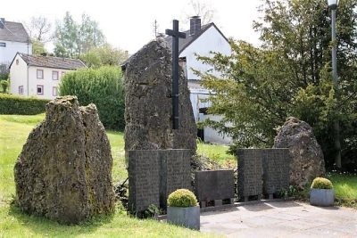 20 m
War Memorials
Kriegerdenkmal an der Kirche
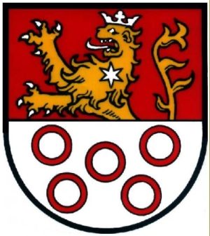 50 m
Coats of Arms
Wappen der Gemeinde Büdesheim
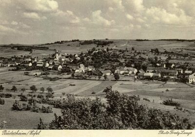 50 m
Place Names / Local History
Ortsgeschichte
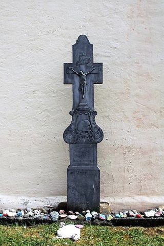 60 m
Burial Sites
Sankt Peter und Paul - Pfarrergrabkreuz
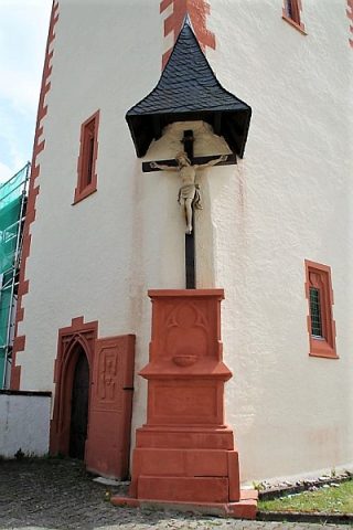 60 m
Wayside Shrines and Stations of the Cross
Sankt Peter und Paul - Missionskreuz
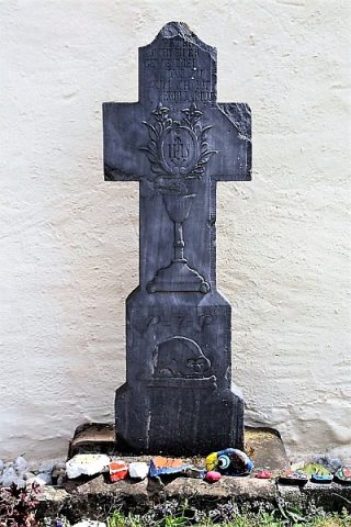 60 m
Burial Sites
Sankt Peter und Paul - Grabkreuz Schreiper
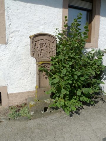 60 m
Wayside Shrines and Stations of the Cross
Stationenweg - 1. Station
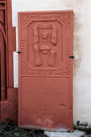 60 m
Burial Sites