Wayside Shrines and Stations of the Cross · Undated
Gipfelkreuz auf dem Bockstein

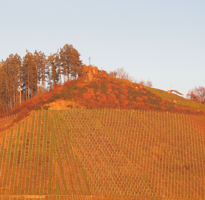
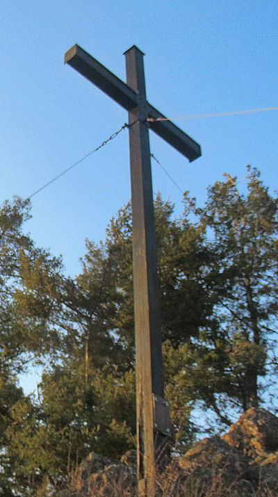
Description
This description is only available in German.
Translate with Google opens this page in Google Translate (external service)
Auf Höhenpunkt 371,7 Meter über NHN. [1]
Classification
- Subject area
- Architectural and Art Monuments
- Category
- Religious Buildings
- Object type
- Wayside Shrines and Stations of the Cross
- Date
- Undatiert
- Period
- Undated
Location
- District
- Trier-Saarburg
- Collective municipality
- Saarburg-Kell
- Municipality
- Ockfen
- Field name
- Oberst Bockstein
- Coordinates
- WGS 84: 49.624605, 6.594661 (Position: exact) WGS 84: 49° 37′ 28.6″ N, 6° 35′ 40.8″ E UTM 32 (ETRS89): E 326286 · N 5499673
Sources
Data sources
- [1] Werner Weber, Mannebach, 2021.
On the internet
Picture credits
Last edited: 29 Jan 2026 Object ID: 50354
https://kulturdb.de/en/objekt/50354-ockfen-gipfelkreuz-auf-dem-bockstein
Nearby
The nearest objects
 less than 10 m
Viewpoints
Aussichtspunkt Bockstein
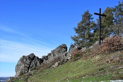 30 m
Rocks
Bockstein
No picture
230 m
Fortresses and Bunkers
Westwall - Bunker
No picture
320 m
Vineyard Sites
Geisberg
No picture
330 m
Field Names
Unter Kächelterborn
No picture
330 m
Field Names
Mückenborn
No picture
370 m
Field Names
Im Schmertriesch
No picture
380 m
Vineyard Sites